Brotherhood Hill
East Sumba · Coordinates -9.6740, 120.2962 · 4 km from Waingapu
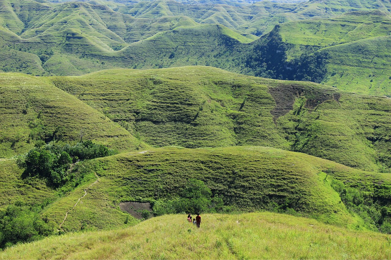
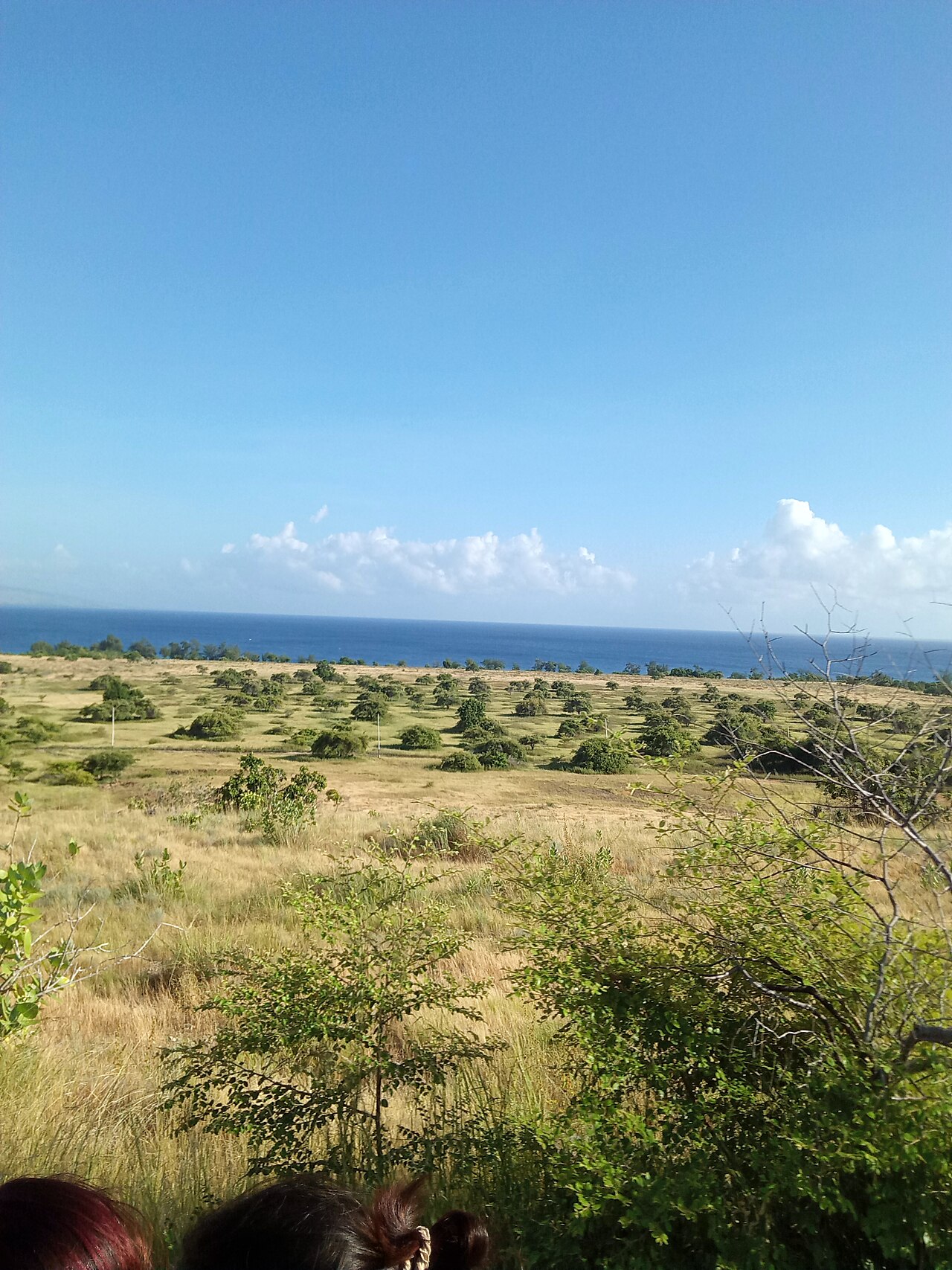
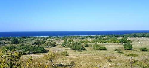
Bukit Persaudaraan, a ridge of savanna hills just outside Waingapu with wide views over valleys, rice fields and the sea. Far fewer people come here than to Wairinding, and it is only a short drive from town.
Directions in Google MapsApple Maps▶ Watch videos🗺️ Full-screen map
Weather now · Waingapu
Waingapu
Map
Questions
Where is Brotherhood Hill?
Brotherhood Hill is in East Sumba, Sumba (East Nusa Tenggara, Indonesia), at -9.6740, 120.2962. The nearest town is Waingapu, about 4 km away in a straight line.
When is the best time to visit Brotherhood Hill?
January to April for green hills, July to October for golden savanna. Sunrise and sunset give the best light.
How do I get to Brotherhood Hill?
The closest airport is Waingapu Airport (WGP), about 1 km away in a straight line. Most visitors hire a car with a driver; roads off the main routes can be rough.
Any tips for visiting Brotherhood Hill?
Perfect for a quick sunrise or sunset if you only have one evening in Waingapu.
Nearby
 Villages
Prailiu Royal Village
East Sumba
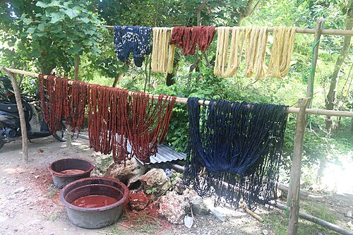
A traditional royal village inside Waingapu, known for its hand-woven ikat.
 Beaches
Padadita Beach
East Sumba
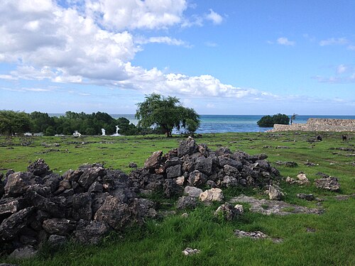
Waingapu's town beach, where fishing boats come in and locals gather in the evening.
 Beaches
Londa Lima Beach
East Sumba
A long stretch of sand a short drive north-west of Waingapu, where local families come at weekends and in the late afternoon.
 Beaches
Walakiri Beach
East Sumba
A shallow beach east of Waingapu where small mangrove trees stand in the water.
Share a photo or tip
Been here? Send us your photo or tip. We review every message before publishing.
Updated: 2026-11-11 · Explore this region: East Sumba