Waibakul: Central Sumba
The small capital of Central Sumba, between the west and the east, near Matalawa National Park.
Waibakul is the capital of Central Sumba, the least visited of the island's four regencies. Most travellers pass through on the road between west and east.
It is close to the forests of Matalawa National Park and the waterfalls of Lapopu and Matayangu. Facilities are basic, so fill up with fuel and cash in Waikabubak or Waingapu.
Weather now · Waibakul
Waibakul
Map
Nearby
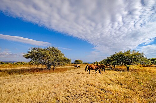 WaterfallsSecret spot
Matayangu Waterfall
Central Sumba
A hidden waterfall deep in the forest of Matalawa National Park in Central Sumba, reached on foot along a jungle trail.
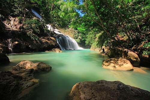 Waterfalls
Lapopu Waterfall
Central Sumba
One of Sumba's tallest waterfalls, tumbling down a series of rock terraces inside Matalawa National Park, on the border of West and Central Sumba.
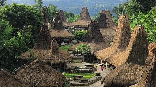 Villages
Waigalli Village
West Sumba
A hilltop traditional village in Wanokaka, West Sumba, with high-roofed houses and stone tombs, close to the field where the Wanokaka Pasola is held..
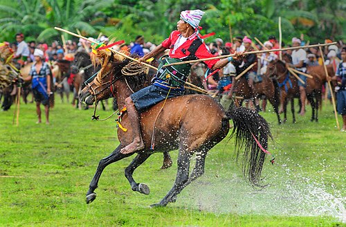 Culture
Pasola field, Wanokaka
West Sumba
The open field where Wanokaka holds the Pasola, a ritual contest in which riders throw blunt wooden spears at each other on horseback.
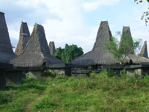 Villages
Tarung Village
West Sumba
A hilltop traditional village in the middle of Waikabubak, the capital of West Sumba.
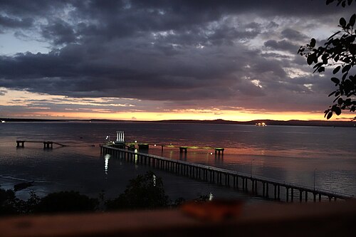 Beaches
Rua Beach
West Sumba
A pale-sand beach on the south coast of West Sumba, with clear water and few people.
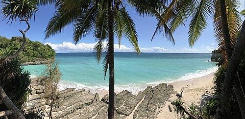 Beaches
Marosi Beach
West Sumba
A long, wide stretch of pale sand on the Lamboya coast of West Sumba, backed by palms and fields.
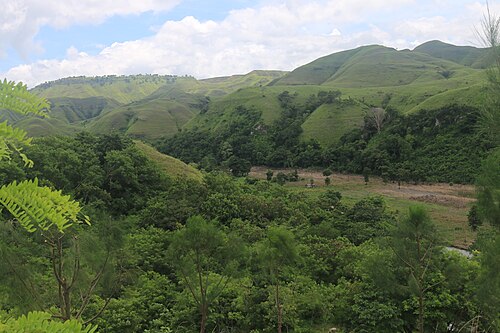 ViewpointsSecret spot
Napu Valley
East Sumba
Wide grassy hills and a green river valley around the village of Napu, in Haharu on the north coast of East Sumba.