Pasola field, Wanokaka
West Sumba · Coordinates -9.7205, 119.4525 · 11 km from Waikabubak
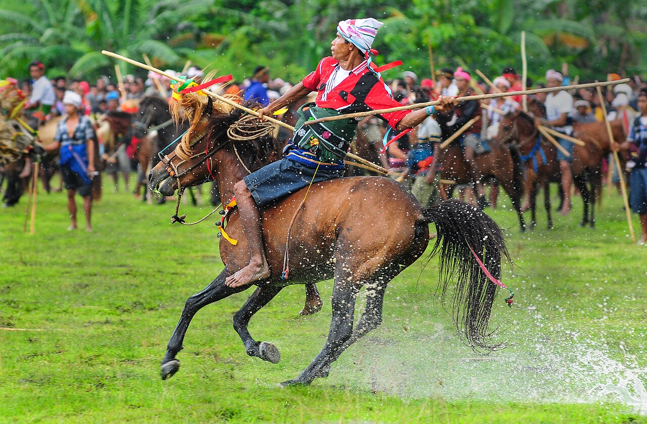
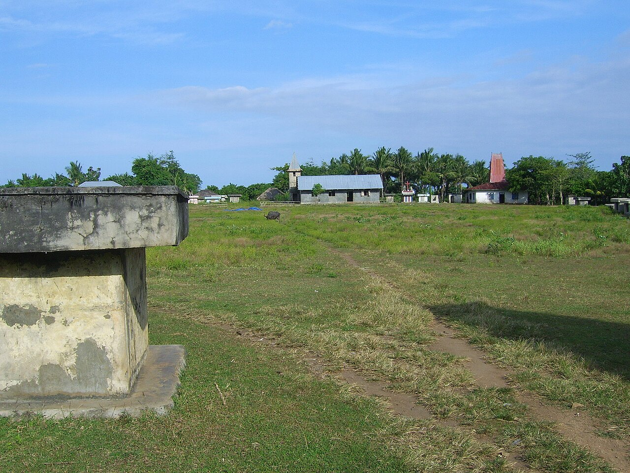
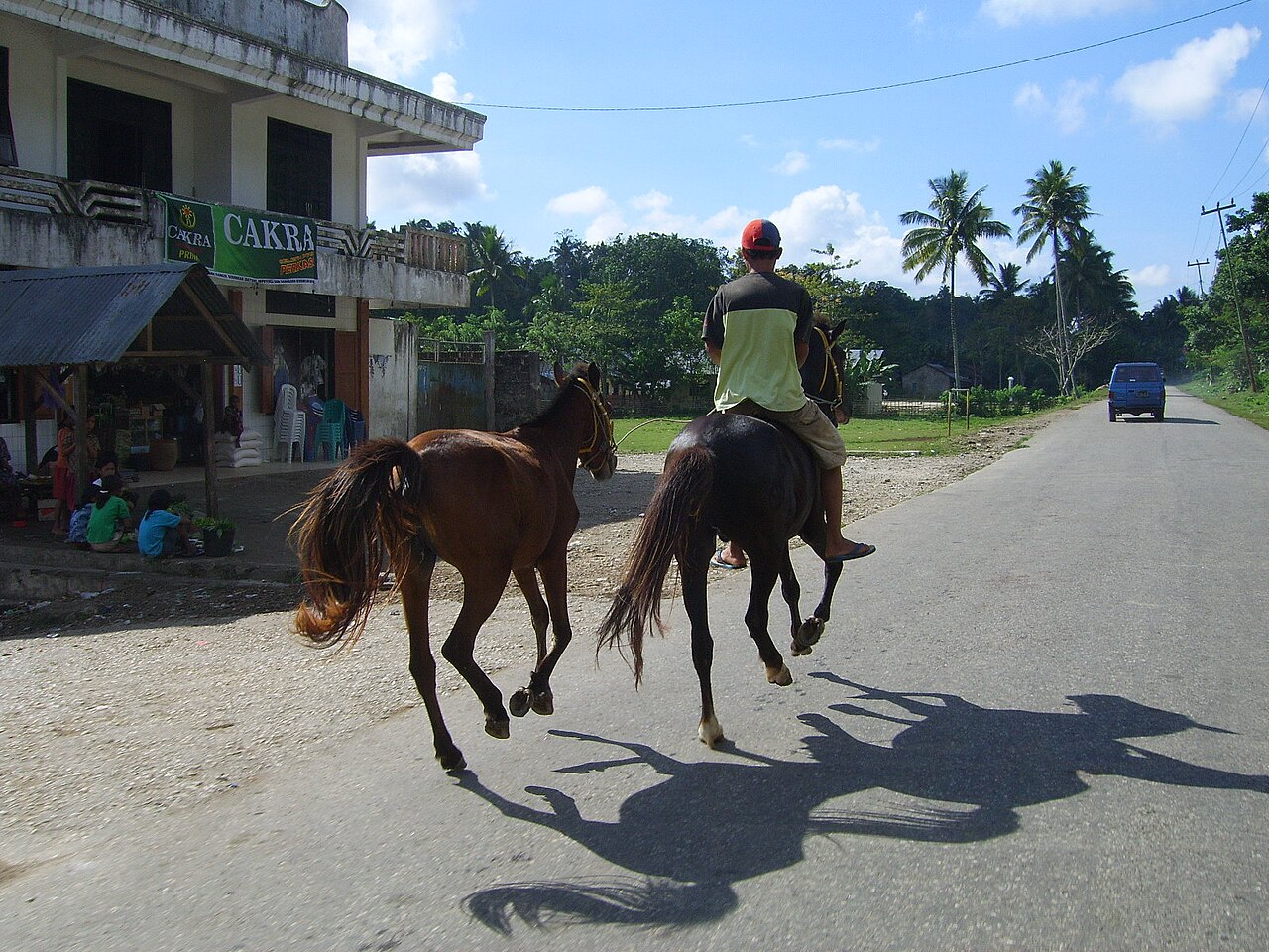
The open field where Wanokaka holds the Pasola, a ritual contest in which riders throw blunt wooden spears at each other on horseback. It takes place once a year around February or March in Kodi, Lamboya, Wanokaka and Gaura, on dates set by Marapu elders.
Directions in Google MapsApple Maps▶ Watch videos🗺️ Full-screen map
Weather now · Waikabubak
Waikabubak
Map
Questions
Where is Pasola field, Wanokaka?
Pasola field, Wanokaka is in West Sumba, Sumba (East Nusa Tenggara, Indonesia), at -9.7205, 119.4525. The nearest town is Waikabubak, about 11 km away in a straight line.
When is the best time to visit Pasola field, Wanokaka?
February or March, on dates set each year by Marapu elders and confirmed only a few days ahead.
How do I get to Pasola field, Wanokaka?
The closest airport is Tambolaka Airport (TMC), about 41 km away in a straight line. Most visitors hire a car with a driver; roads off the main routes can be rough.
Any tips for visiting Pasola field, Wanokaka?
Dates are only confirmed a few days ahead. Watch from where locals tell you, well away from the horses.
Nearby
 Villages
Waigalli Village
West Sumba
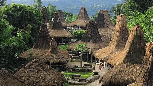
A hilltop traditional village in Wanokaka, West Sumba, with high-roofed houses and stone tombs, close to the field where the Wanokaka Pasola is held..
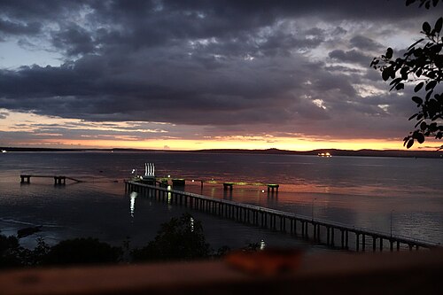 Beaches
Rua Beach
West Sumba
A pale-sand beach on the south coast of West Sumba, with clear water and few people.
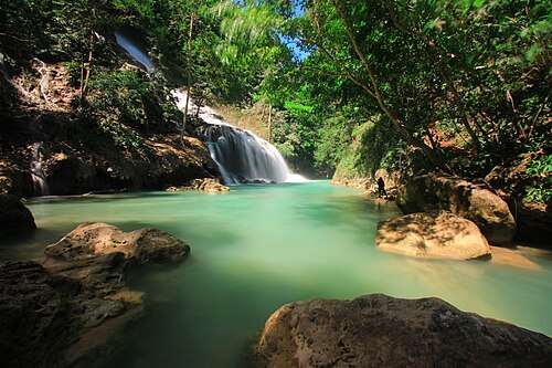 Waterfalls
Lapopu Waterfall
Central Sumba
One of Sumba's tallest waterfalls, tumbling down a series of rock terraces inside Matalawa National Park, on the border of West and Central Sumba.
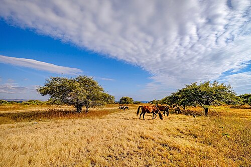 WaterfallsSecret spot
Matayangu Waterfall
Central Sumba
A hidden waterfall deep in the forest of Matalawa National Park in Central Sumba, reached on foot along a jungle trail.
Share a photo or tip
Been here? Send us your photo or tip. We review every message before publishing.
Updated: 2026-11-11 · Explore this region: West Sumba