Lapopu Waterfall
Central Sumba · Coordinates -9.6783, 119.4930 · 10 km from Waikabubak
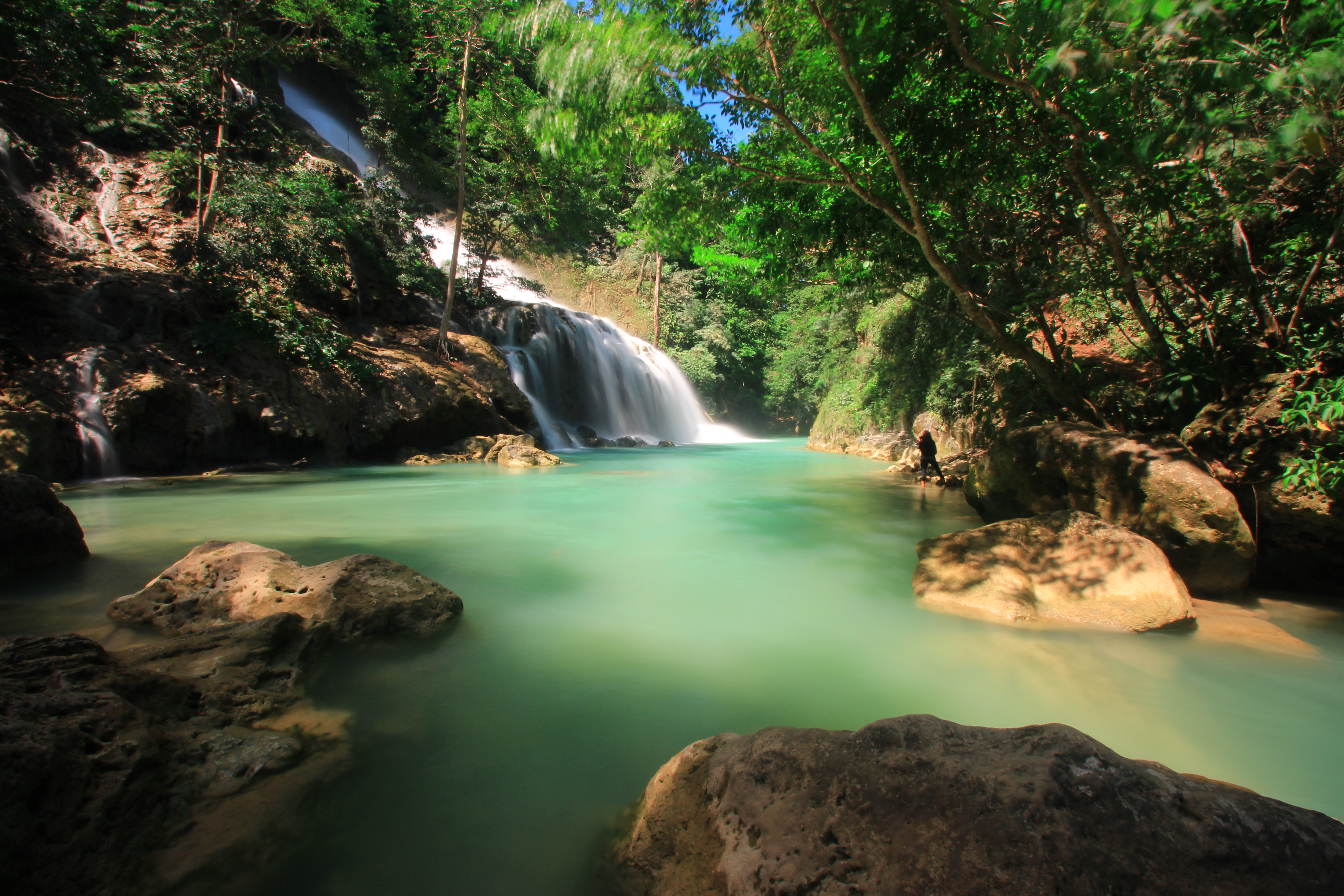

One of Sumba's tallest waterfalls, tumbling down a series of rock terraces inside Matalawa National Park, on the border of West and Central Sumba. The pools at the bottom are cool and clear.
Directions in Google MapsApple Maps▶ Watch videos🗺️ Full-screen map
Weather now · Waikabubak
Waikabubak
Map
Questions
Where is Lapopu Waterfall?
Lapopu Waterfall is in Central Sumba, Sumba (East Nusa Tenggara, Indonesia), at -9.6783, 119.4930. The nearest town is Waikabubak, about 10 km away in a straight line.
When is the best time to visit Lapopu Waterfall?
April to July: there is still water after the rains but the access roads have dried out.
How do I get to Lapopu Waterfall?
The closest airport is Tambolaka Airport (TMC), about 40 km away in a straight line. Most visitors hire a car with a driver; roads off the main routes can be rough.
Any tips for visiting Lapopu Waterfall?
Best from April to July, when there is still water but the access road is dry. Pay the small park fee at the entrance.
Nearby
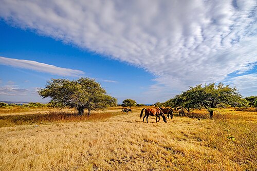 WaterfallsSecret spot
Matayangu Waterfall
Central Sumba
A hidden waterfall deep in the forest of Matalawa National Park in Central Sumba, reached on foot along a jungle trail.
 Villages
Waigalli Village
West Sumba
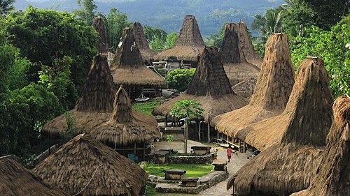
A hilltop traditional village in Wanokaka, West Sumba, with high-roofed houses and stone tombs, close to the field where the Wanokaka Pasola is held..
 Culture
Pasola field, Wanokaka
West Sumba
The open field where Wanokaka holds the Pasola, a ritual contest in which riders throw blunt wooden spears at each other on horseback.
 Villages
Tarung Village
West Sumba
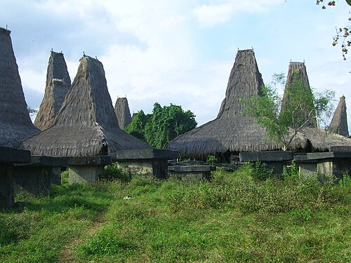
A hilltop traditional village in the middle of Waikabubak, the capital of West Sumba.
Share a photo or tip
Been here? Send us your photo or tip. We review every message before publishing.
Updated: 2026-11-11 · Explore this region: Central Sumba