Pero Beach
Southwest Sumba · Coordinates -9.6060, 118.9842 · 35 km from Tambolaka
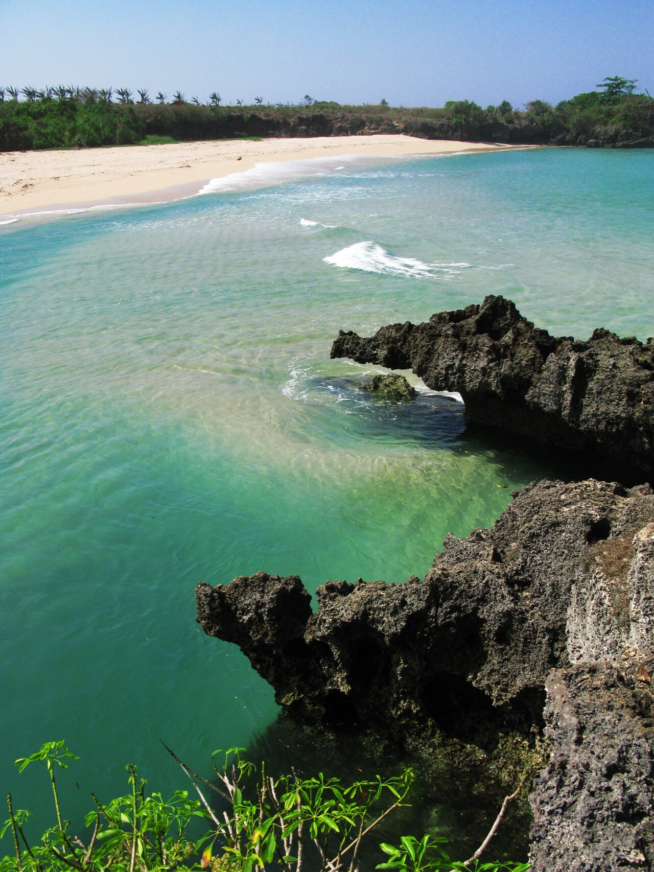
A working fishing village on the Kodi coast with wooden boats pulled up on the sand and a reef break that draws a handful of surfers. Few tourists stop here, and the sunsets face straight out to sea.
Directions in Google MapsApple Maps▶ Watch videos🗺️ Full-screen map
Weather now · Tambolaka
Tambolaka
Map
Questions
Where is Pero Beach?
Pero Beach is in Southwest Sumba, Sumba (East Nusa Tenggara, Indonesia), at -9.6060, 118.9842. The nearest town is Tambolaka, about 35 km away in a straight line.
When is the best time to visit Pero Beach?
May to October, in the dry season, when the sea is usually calmer and roads are dry.
How do I get to Pero Beach?
The closest airport is Tambolaka Airport (TMC), about 36 km away in a straight line. Most visitors hire a car with a driver; roads off the main routes can be rough.
Any tips for visiting Pero Beach?
Come for sunset and buy grilled fish from the village. Surf only if you know reef breaks.
Nearby
 Villages
Ratenggaro Village
Southwest Sumba
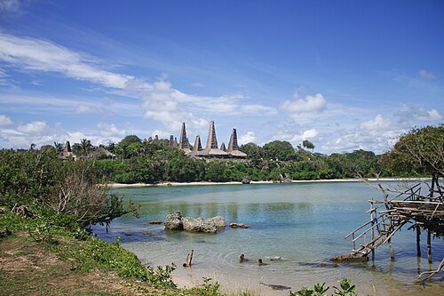
A traditional Kodi village of towering thatched roofs and stone megalithic tombs set right above the beach.
 VillagesSecret spot
Wainyapu Village
Southwest Sumba
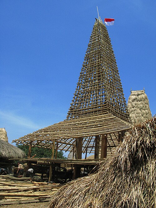
Ratenggaro's quieter neighbour, across the river mouth.
 Beaches
Mandorak Beach
Southwest Sumba
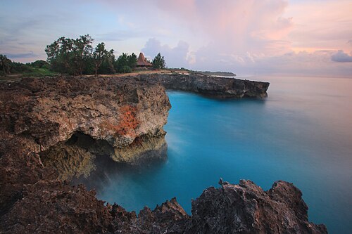
A tiny cove of white sand squeezed between two cliffs, a few minutes from Weekuri Lagoon.
 Beaches
Weekuri Lagoon
Southwest Sumba
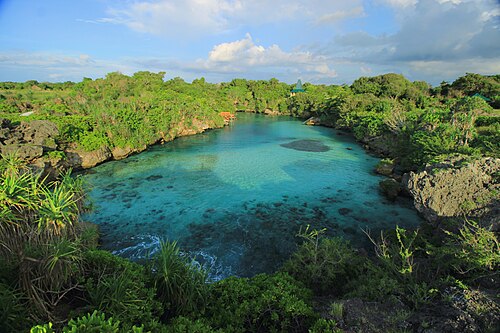
A saltwater lagoon cut off from the open ocean by a wall of coral rock.
Share a photo or tip
Been here? Send us your photo or tip. We review every message before publishing.
Updated: 2026-11-11 · Explore this region: Southwest Sumba