Tarimbang Bay
East Sumba · Coordinates -9.9583, 119.9592 · 48 km from Waingapu
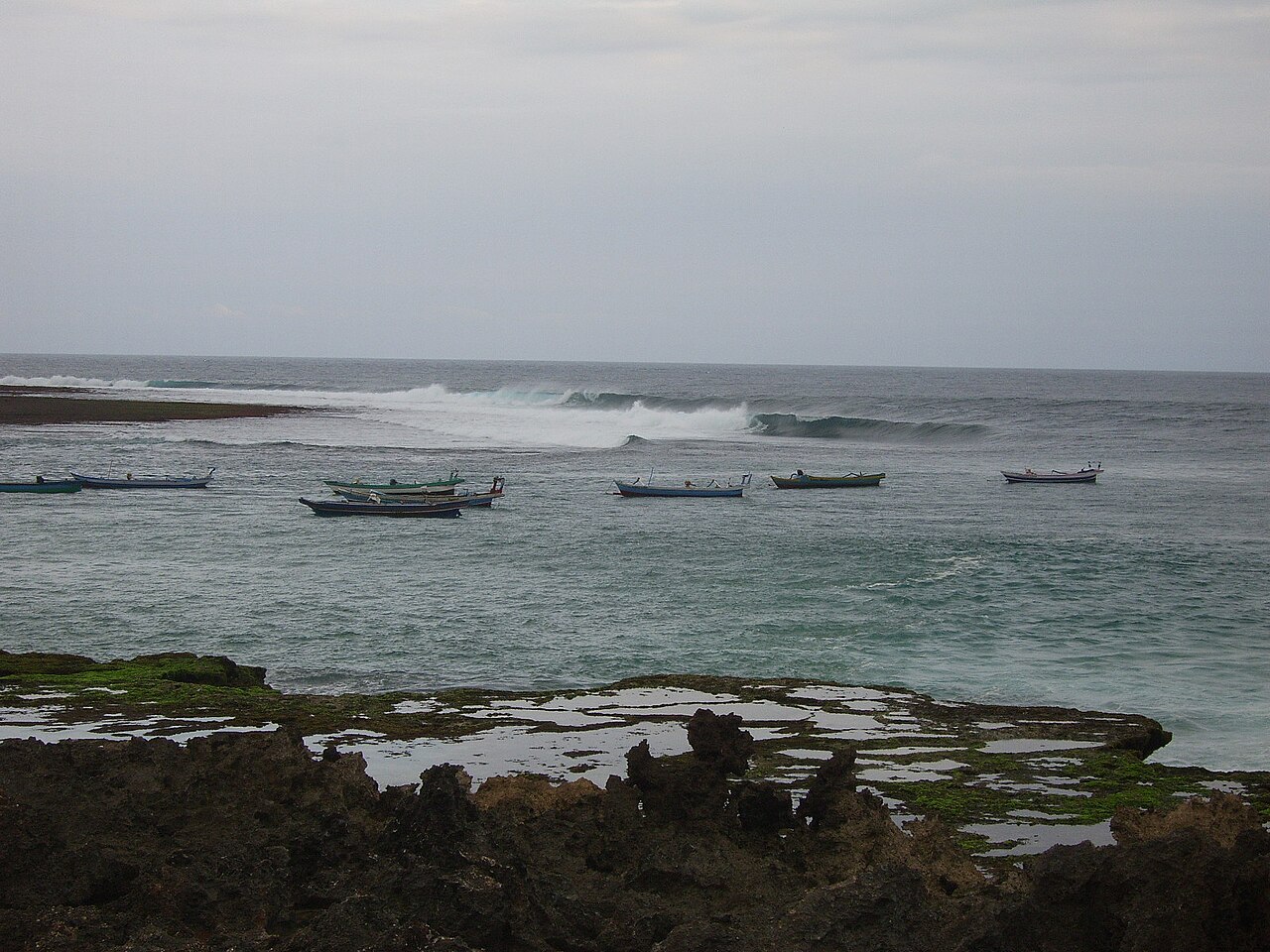
A remote bay on the south coast of East Sumba, reached by a long, winding road through the hills. A wide beach, a consistent surf break and almost nobody else make it one of the island's real escapes.
Directions in Google MapsApple Maps▶ Watch videos🗺️ Full-screen map
Weather now · Waingapu
Waingapu
Map
Questions
Where is Tarimbang Bay?
Tarimbang Bay is in East Sumba, Sumba (East Nusa Tenggara, Indonesia), at -9.9583, 119.9592. The nearest town is Waingapu, about 48 km away in a straight line.
When is the best time to visit Tarimbang Bay?
May to October, in the dry season, when the sea is usually calmer and roads are dry.
How do I get to Tarimbang Bay?
The closest airport is Waingapu Airport (WGP), about 49 km away in a straight line. Most visitors hire a car with a driver; roads off the main routes can be rough.
Any tips for visiting Tarimbang Bay?
Fill up on fuel and cash before leaving Waingapu; there is very little on the way. A 4x4 or a driver who knows the road helps.
Nearby
 Viewpoints
Wairinding Hill
East Sumba
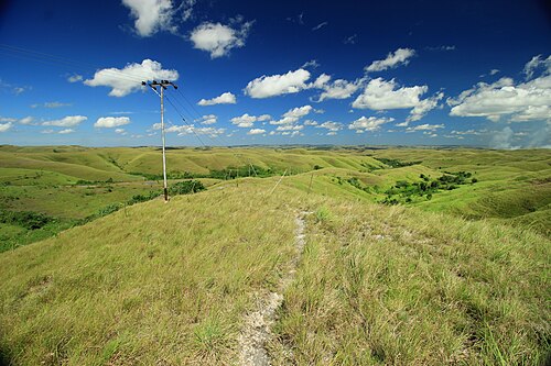
Rolling grass hills beside the main road west of Waingapu, green in the rainy season and gold in the dry months.
 ViewpointsSecret spot
Wanggameti
East Sumba
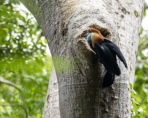
The highlands around Mount Wanggameti, the highest point of Sumba, inside Matalawa National Park.
 WaterfallsSecret spot
Tanggedu Waterfall
East Sumba
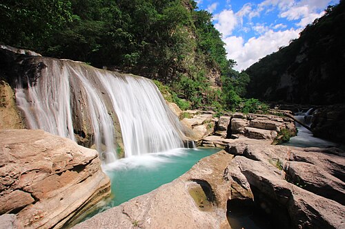
A river that has carved a narrow rock canyon in the hills of East Sumba, leaving a staircase of turquoise pools and small falls.
 Villages
Prailiu Royal Village
East Sumba
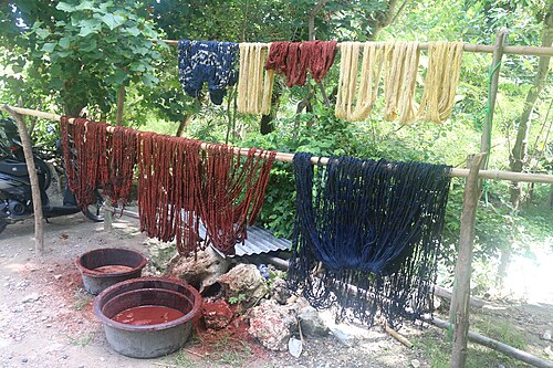
A traditional royal village inside Waingapu, known for its hand-woven ikat.
Share a photo or tip
Been here? Send us your photo or tip. We review every message before publishing.
Updated: 2026-11-11 · Explore this region: East Sumba