Wunga Village
East Sumba · Coordinates -9.3763, 119.9404 · 46 km from Waibakul
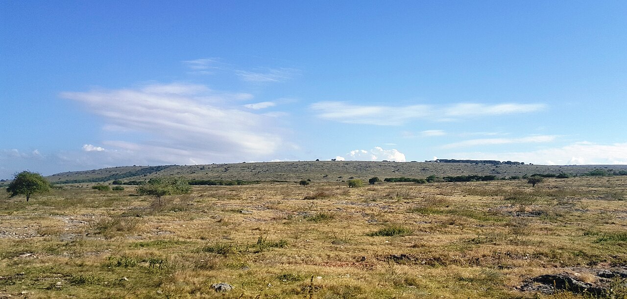
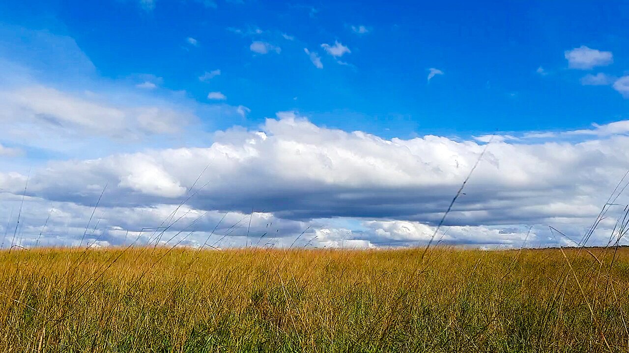
A traditional village on the dry north coast of East Sumba. In Sumbanese oral tradition this is where the island's first ancestors came ashore, which gives it a special place in Marapu belief.
Directions in Google MapsApple Maps▶ Watch videos🗺️ Full-screen map
Weather now · Waibakul
Waibakul
Map
Questions
Where is Wunga Village?
Wunga Village is in East Sumba, Sumba (East Nusa Tenggara, Indonesia), at -9.3763, 119.9404. The nearest town is Waibakul, about 46 km away in a straight line.
When is the best time to visit Wunga Village?
All year round. Go in the morning, and check local calendars: ceremonies and the Pasola (February or March) change the rhythm of the villages.
How do I get to Wunga Village?
The closest airport is Waingapu Airport (WGP), about 51 km away in a straight line. Most visitors hire a car with a driver; roads off the main routes can be rough.
Any tips for visiting Wunga Village?
Go with a local guide who can introduce you. Same etiquette as every village: guestbook, donation, ask before photos.
Nearby
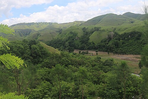 ViewpointsSecret spot
Napu Valley
East Sumba
Wide grassy hills and a green river valley around the village of Napu, in Haharu on the north coast of East Sumba.
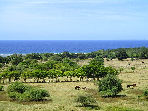 Beaches
Puru Kambera
East Sumba
Where the savanna of East Sumba runs straight into the sea, north-west of Waingapu.
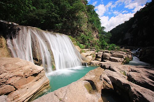 WaterfallsSecret spot
Tanggedu Waterfall
East Sumba
A river that has carved a narrow rock canyon in the hills of East Sumba, leaving a staircase of turquoise pools and small falls.
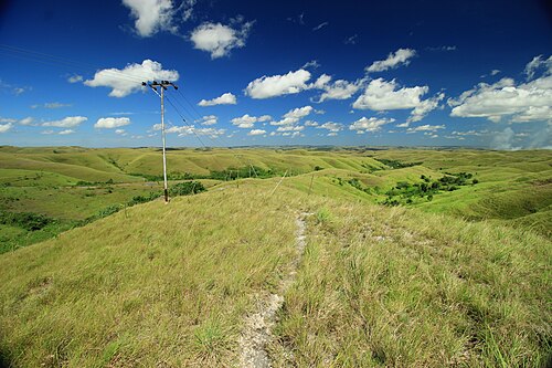 Viewpoints
Wairinding Hill
East Sumba
Rolling grass hills beside the main road west of Waingapu, green in the rainy season and gold in the dry months.
Share a photo or tip
Been here? Send us your photo or tip. We review every message before publishing.
Updated: 2026-11-11 · Explore this region: East Sumba