 EN▾











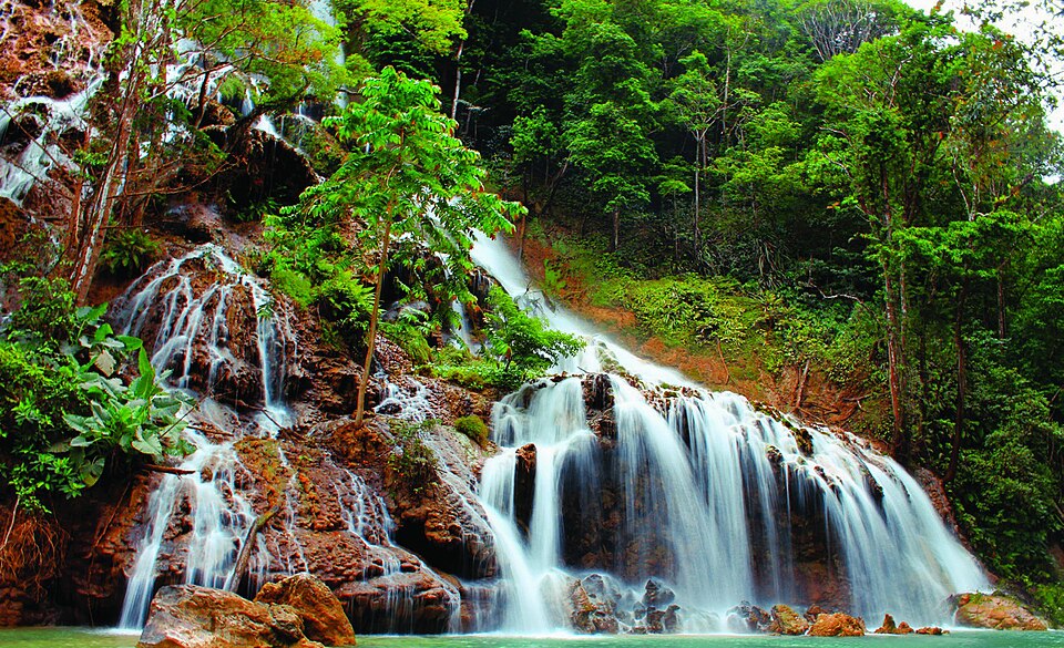
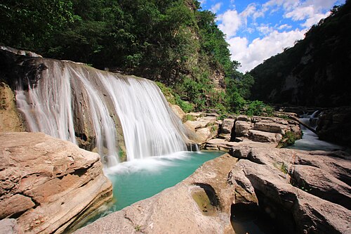
A waterfall about 20 metres high in the village of Soru, Umbu Ratu Nggay, in the east of Central Sumba, roughly 45 km from Waibakul. From the road it is a walk of about 300 metres up a rocky riverbed.
Questions
Where is Harunda Waterfall?
Harunda Waterfall is in Central Sumba, Sumba (East Nusa Tenggara, Indonesia), at -9.5648, 119.8559. The nearest town is Waibakul, about 29 km away in a straight line.
When is the best time to visit Harunda Waterfall?
April to July: there is still water after the rains but the access roads have dried out.
How do I get to Harunda Waterfall?
The closest airport is Waingapu Airport (WGP), about 50 km away in a straight line. Most visitors hire a car with a driver; roads off the main routes can be rough.
Any tips for visiting Harunda Waterfall?
Wear sandals with good grip for the rocks and go in the dry season, when the river is easier to walk.
Share a photo or tip
Been here? Send us your photo or tip. We review every message before publishing.