 EN▾



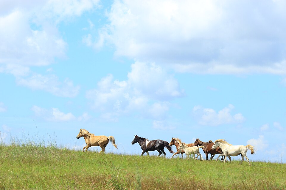
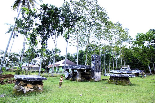
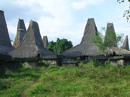
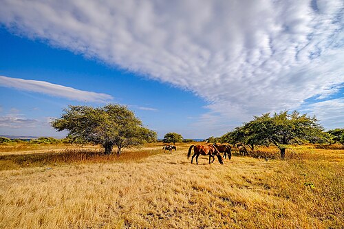
Rolling savanna on the north coast of Central Sumba, around the villages of Mamboro and Wendewa. In the dry season the grass turns golden brown and the hills could pass for East Africa, with herds of horses, cattle and buffalo. Nearby is Manua Kalada, one of the oldest traditional villages on Sumba, where the kings of Mamboro lived and are buried.
📷 Photos
File photo: Sumba · Zahrasrtn (CC BY-SA 4.0) · File photo: Sumba · Zahrasrtn (CC BY-SA 4.0) · File photo: Sumba · Bayu345 (CC BY-SA 4.0), Wikimedia Commons
Questions
Where is Mamboro savanna?
Mamboro savanna is in Central Sumba, Sumba (East Nusa Tenggara, Indonesia), at -9.3844, 119.5402. The nearest town is Waibakul, about 27 km away in a straight line.
When is the best time to visit Mamboro savanna?
January to April for green hills, July to October for golden savanna. Sunrise and sunset give the best light.
How do I get to Mamboro savanna?
The closest airport is Tambolaka Airport (TMC), about 33 km away in a straight line. Most visitors hire a car with a driver; roads off the main routes can be rough.
Any tips for visiting Mamboro savanna?
Come early in the morning or late in the afternoon for the light. Ask before entering Manua Kalada and leave a small donation.
Share a photo or tip
Been here? Send us your photo or tip. We review every message before publishing.