Waimarang Waterfall
East Sumba · Coordinates -9.9687, 120.6028 · 51 km from Waingapu
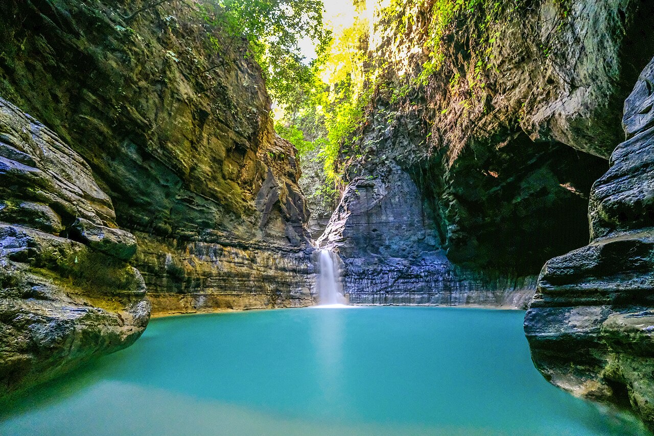
A waterfall that drops into a round, jade-green pool surrounded by rock walls, in the Rindi area of East Sumba. The last part is a steep walk down, and the reward is a swim in a natural amphitheatre.
Directions in Google MapsApple Maps▶ Watch videos🗺️ Full-screen map
Weather now · Waingapu
Waingapu
Map
Questions
Where is Waimarang Waterfall?
Waimarang Waterfall is in East Sumba, Sumba (East Nusa Tenggara, Indonesia), at -9.9687, 120.6028. The nearest town is Waingapu, about 51 km away in a straight line.
When is the best time to visit Waimarang Waterfall?
April to July: there is still water after the rains but the access roads have dried out.
How do I get to Waimarang Waterfall?
The closest airport is Waingapu Airport (WGP), about 47 km away in a straight line. Most visitors hire a car with a driver; roads off the main routes can be rough.
Any tips for visiting Waimarang Waterfall?
The path is steep and loose: good shoes, no flip-flops. Go in the dry season and avoid it after heavy rain.
Nearby
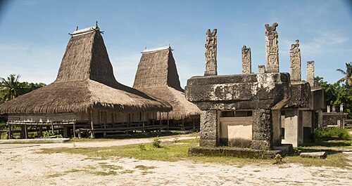 VillagesSecret spot
Praiyawang, Rende
East Sumba
The old royal village of Rende in south-east Sumba, famous for some of the largest carved stone tombs on the island and for fine ikat.
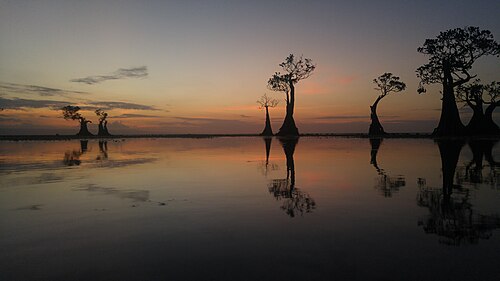 Beaches
Walakiri Beach
East Sumba
A shallow beach east of Waingapu where small mangrove trees stand in the water.
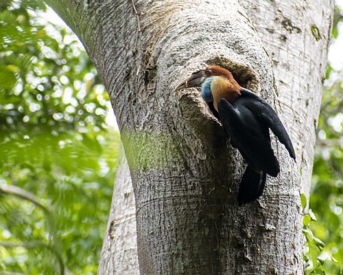 ViewpointsSecret spot
Wanggameti
East Sumba
The highlands around Mount Wanggameti, the highest point of Sumba, inside Matalawa National Park.
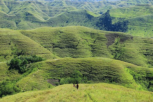 ViewpointsSecret spot
Brotherhood Hill
East Sumba
Bukit Persaudaraan, a ridge of savanna hills just outside Waingapu with wide views over valleys, rice fields and the sea.
Share a photo or tip
Been here? Send us your photo or tip. We review every message before publishing.
Updated: 2026-11-11 · Explore this region: East Sumba