 EN▾










Getting around Sumba: drivers, scooters, roads and maps
How to travel around Sumba: hiring a car with driver, renting a scooter, road conditions, fuel, mobile signal and offline maps.

Sumba is big, roads are slow and public transport barely exists outside the towns. How you move around will shape your whole trip.
Car with a local driver (recommended)
The most common choice. A driver knows the roads, speaks the language, can introduce you in villages and often doubles as a guide. Agree in advance on the price per day, what is included (fuel, the driver's meals and lodging on multi-day trips) and the route. Ask your accommodation for a recommendation.
Scooter
Scooters can be rented in Tambolaka, Waikabubak and Waingapu. Wear a helmet, carry water and a phone charger, refuel when you can (fuel stations are scarce away from the towns, but small shops sell petrol in bottles) and avoid riding after dark.
Self-drive car
Possible but uncommon. You will need an international driving permit, patience on narrow roads and good offline maps.
Road conditions
The main road between Tambolaka, Waikabubak, Waibakul and Waingapu is paved. Side roads to beaches and villages range from good asphalt to rocky tracks that become muddy in the rains. As a rough rule, plan for 30 to 40 km per hour on average. Animals, children and potholes are common; night driving is best avoided.
Distances
Use our interactive map: every place shows the distance to the nearest town and airport. Driving across the island from Tambolaka to Waingapu takes most of a day.
Mobile signal and maps
Coverage is good in towns and patchy elsewhere; some coasts have none. Buy a local SIM in town, download offline maps and save the places you want to visit before leaving the hotel.
FAQ
Is there public transport in Sumba?
Only basic minibuses and buses between towns. They are cheap but slow and do not reach most sights, so most visitors hire a car with a driver.
Can I rent a scooter in Sumba?
Yes, in the main towns. It suits confident riders; distances are long, roads can be rough and there is little help if you break down.
Does Google Maps work in Sumba?
Roads are mapped, but signal disappears in many areas and some routes suggested by apps are tracks. Download offline maps and confirm routes with locals.
Guides
25 best things to do in Sumba
From Weekuri Lagoon to the Pasola, the dancing trees of Walakiri and the megalithic tombs of Anakalang: the best experiences on Sumba island, with a map.
The best beaches in Sumba (with map)
Every beach worth the drive on Sumba: lagoons, surf breaks, sunset spots and empty white sand on all four coasts, with tips on safety and access.
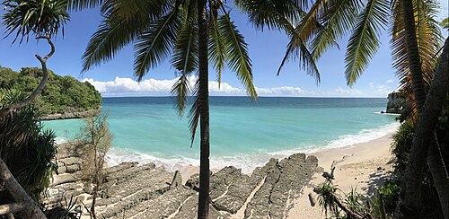
Where to stay in Sumba: the best areas for every trip
Which area of Sumba to stay in: Tambolaka and Kodi, Waikabubak and the south-west coast, Central Sumba and Waingapu in the east, and how to split your nights.
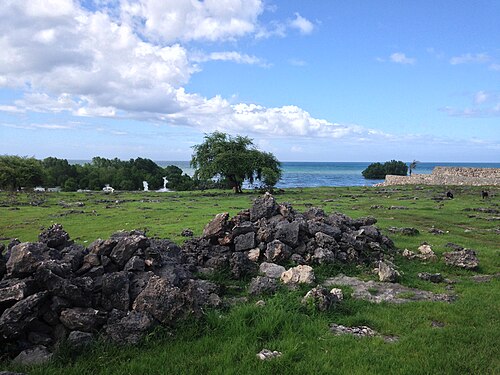
What to eat in Sumba: food, coffee and where to find it
Fresh fish, smoked meat, local vegetables, Sumba coffee and the betel-nut ritual: what you will eat on the island and practical tips.
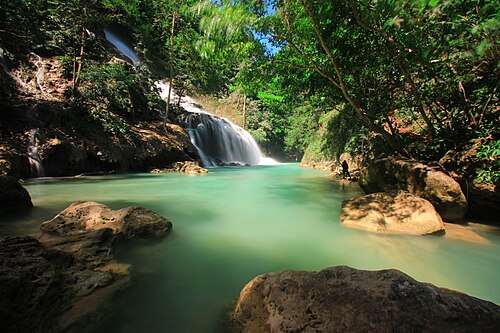
Sumba in the rainy season: is it worth visiting from November to April?
What travelling in Sumba during the wet season is really like: rain patterns, roads, waterfalls, green landscapes, the Pasola, and how to plan around the weather.
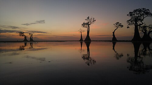
Best sunsets in Sumba: 9 places for golden hour
Where to watch the sunset in Sumba, from the dancing mangroves of Walakiri to the cliffs of Kodi and the savanna hills, with timing tips and sunset hours.