 EN▾

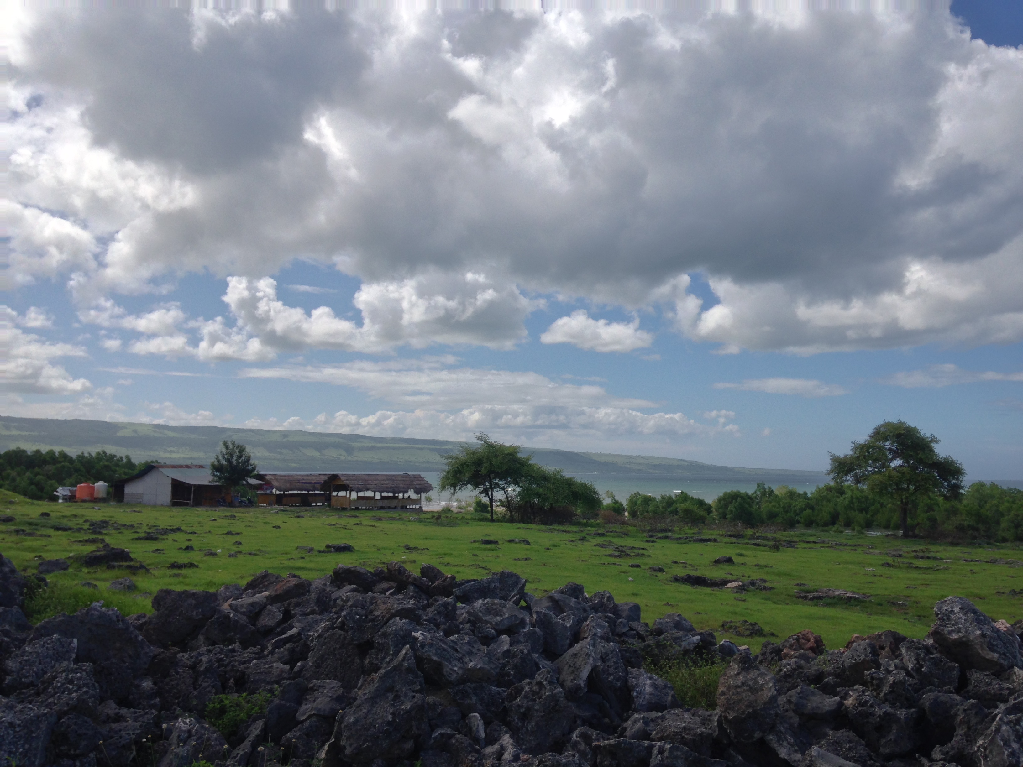
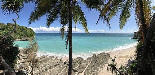
A white-sand beach at Susu Wendewa, in western Mamboro, where two river mouths meet the sea under casuarina trees. Japanese cannons from the Second World War stand on a stone monument by the shore, and villagers collect seafood off the beach.
📷 Photos
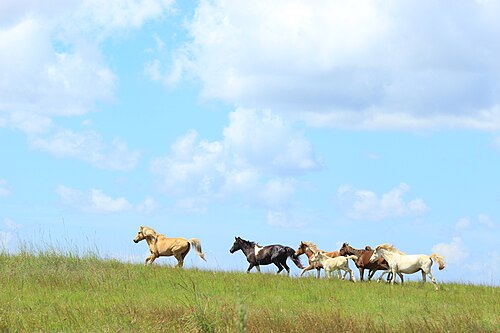
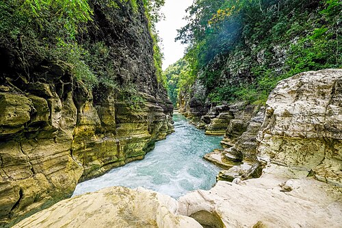
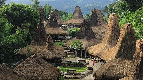
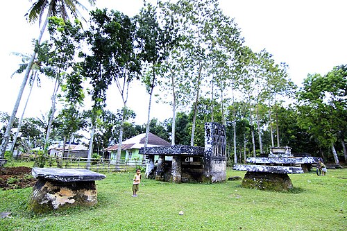
File photo: Sumba · 반 성 (CC BY-SA 4.0) · File photo: Sumba · Bimantara.prawoto (CC BY-SA 4.0), Wikimedia Commons
🚗 Getting there: distances and drive times
| From | Straight line | By road (approx.) |
|---|---|---|
| Eco Beach City · Mamboro | 13 km | ~15 km · 45 min |
| Tambolaka Airport (TMC) | 20 km | ~30 km · 1 h |
| Tambolaka | 21 km | ~30 km · 1 h |
| Waikabubak | 29 km | ~40 km · 1 h 15 min |
| Waibakul | 33 km | ~45 km · 1 h 30 min |
| Waingapu | 97 km | ~130 km · 4 h |
| Waingapu Airport (WGP) | 101 km | ~135 km · 4 h |
Drive times are estimates for a car with a driver, at about 35 km/h on average including stops and slow village stretches. Allow more time in the rainy season and on the last unpaved section.
🌅 Sunrise and sunset
At Karendi Beach the sun rises between 05:31 and 06:19 and sets between 17:48 and 18:31, local time (WITA, UTC+8), depending on the month. So close to the equator, days last about 12 hours all year, and it gets dark quickly after sunset.
✅ Plan your visit
- Check the sea before swimming: the south and west coasts face the open Indian Ocean, with strong currents and big waves for much of the year.
- There is little shade and often no shop nearby, so bring water, sun protection and some cash in small notes.
- Low tide often shows rock pools and reef flats; high tide can cover small beaches completely.
- Leave nothing behind and do not take coral or shells.
📍 Also within 15 km
- Mananga Beach · 11.9 km to the east
- Mamboro savanna · 12.3 km to the east
🌦️ Climate near Karendi Beach by month
| Month | Jan | Feb | Mar | Apr | May | Jun | Jul | Aug | Sep | Oct | Nov | Dec |
|---|---|---|---|---|---|---|---|---|---|---|---|---|
| Max °C | 29 | 29 | 29 | 30 | 30 | 30 | 30 | 30 | 31 | 32 | 31 | 30 |
| Min °C | 25 | 24 | 24 | 24 | 24 | 23 | 22 | 22 | 22 | 24 | 25 | 25 |
| Rain mm | 260 | 260 | 245 | 175 | 67 | 42 | 38 | 27 | 36 | 78 | 117 | 211 |
Monthly averages for 2015 to 2024 from Open-Meteo historical weather data (ERA5 reanalysis, a weather model) for the nearest area: Tambolaka. Treat rainfall as approximate: models tend to overestimate it in dry areas.
Questions
Where is Karendi Beach?
Karendi Beach is in Central Sumba, Sumba (East Nusa Tenggara, Indonesia), at -9.3770, 119.4282. The nearest town is Tambolaka, about 21 km away in a straight line.
When is the best time to visit Karendi Beach?
May to October, in the dry season, when the sea is usually calmer and roads are dry.
How do I get to Karendi Beach?
The closest airport is Tambolaka Airport (TMC), about 20 km away in a straight line. Most visitors hire a car with a driver; roads off the main routes can be rough.
How far is Karendi Beach from Tambolaka Airport (TMC)?
Karendi Beach is about 20 km in a straight line from Tambolaka Airport (TMC), roughly 1 h by road.
How long is the drive from Tambolaka to Karendi Beach?
Plan on about 1 h for the roughly 30 km by road from Tambolaka, and more after heavy rain.
Any tips for visiting Karendi Beach?
The salty river on the way has crocodiles: stay on the track and keep out of the water there.
Share a photo or tip
Been here? Send us your photo or tip. We review every message before publishing.