 EN▾






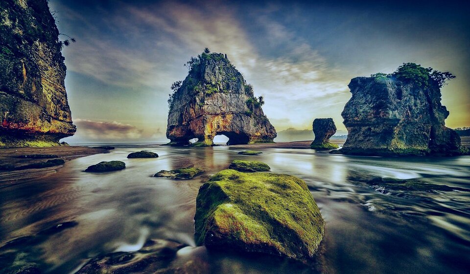
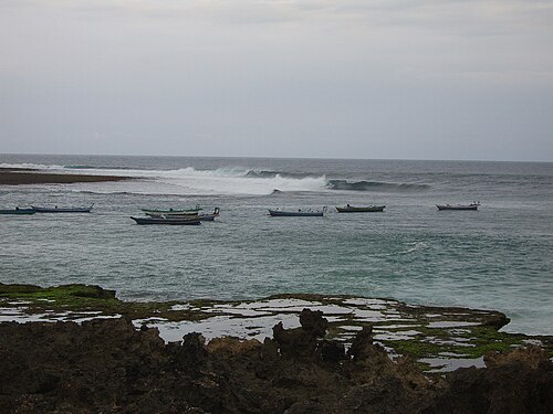
A wide white-sand beach on the south coast of Central Sumba, about 25 km south of Waibakul. The sand is firm enough to walk easily, and a coral outcrop holds the grave of Appu Ladu, said to be the first settler. Neighbouring Aili Beach has coral rocks along the shore.
📷 Photos
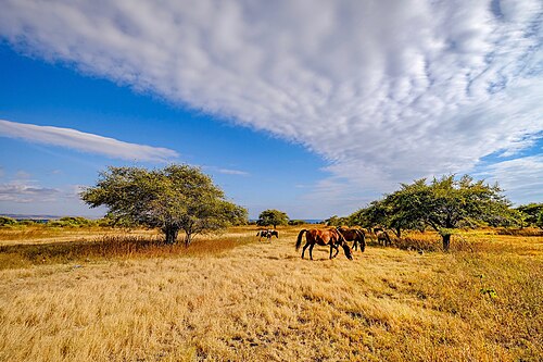
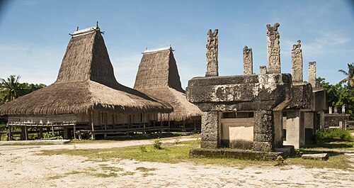
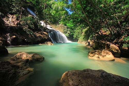
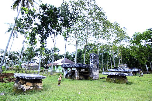
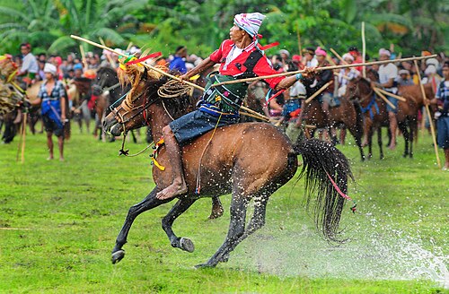
File photo: Sumba · Nathan Veritas (CC BY-SA 4.0) · File photo: Sumba · Zahrasrtn (CC BY-SA 4.0), Wikimedia Commons
🚗 Getting there: distances and drive times
| From | Straight line | By road (approx.) |
|---|---|---|
| Waibakul | 16 km | ~20 km · 45 min |
| Waikabubak | 27 km | ~35 km · 1 h 15 min |
| Eco Beach City · Mamboro | 44 km | ~60 km · 1 h 45 min |
| Tambolaka | 56 km | ~75 km · 2 h 15 min |
| Tambolaka Airport (TMC) | 57 km | ~75 km · 2 h 15 min |
| Waingapu | 72 km | ~95 km · 3 h |
| Waingapu Airport (WGP) | 76 km | ~100 km · 3 h |
Drive times are estimates for a car with a driver, at about 35 km/h on average including stops and slow village stretches. Allow more time in the rainy season and on the last unpaved section.
🌅 Sunrise and sunset
At Maloba Beach the sun rises between 05:30 and 06:19 and sets between 17:47 and 18:31, local time (WITA, UTC+8), depending on the month. So close to the equator, days last about 12 hours all year, and it gets dark quickly after sunset.
✅ Plan your visit
- Check the sea before swimming: the south and west coasts face the open Indian Ocean, with strong currents and big waves for much of the year.
- There is little shade and often no shop nearby, so bring water, sun protection and some cash in small notes.
- Low tide often shows rock pools and reef flats; high tide can cover small beaches completely.
- Leave nothing behind and do not take coral or shells.
📍 Also within 15 km
- Konda Beach · 5.2 km to the east
🌦️ Climate near Maloba Beach by month
| Month | Jan | Feb | Mar | Apr | May | Jun | Jul | Aug | Sep | Oct | Nov | Dec |
|---|---|---|---|---|---|---|---|---|---|---|---|---|
| Max °C | 28 | 28 | 28 | 28 | 28 | 28 | 27 | 28 | 29 | 30 | 30 | 28 |
| Min °C | 22 | 22 | 22 | 21 | 20 | 20 | 19 | 19 | 19 | 21 | 22 | 22 |
| Rain mm | 271 | 280 | 289 | 214 | 83 | 57 | 42 | 45 | 85 | 147 | 191 | 261 |
Monthly averages for 2015 to 2024 from Open-Meteo historical weather data (ERA5 reanalysis, a weather model) for the nearest area: Waikabubak. Treat rainfall as approximate: models tend to overestimate it in dry areas.
Questions
Where is Maloba Beach?
Maloba Beach is in Central Sumba, Sumba (East Nusa Tenggara, Indonesia), at -9.7630, 119.6182. The nearest town is Waibakul, about 16 km away in a straight line.
When is the best time to visit Maloba Beach?
May to October, in the dry season, when the sea is usually calmer and roads are dry.
How do I get to Maloba Beach?
The closest airport is Tambolaka Airport (TMC), about 57 km away in a straight line. Most visitors hire a car with a driver; roads off the main routes can be rough.
How far is Maloba Beach from Tambolaka Airport (TMC)?
Maloba Beach is about 57 km in a straight line from Tambolaka Airport (TMC), roughly 2 h 15 min by road.
How long is the drive from Waibakul to Maloba Beach?
Plan on about 45 min for the roughly 20 km by road from Waibakul, and more after heavy rain.
Any tips for visiting Maloba Beach?
Waves on the south coast change quickly: ask locally before swimming. Treat the grave as a sacred site and do not climb on it.
Share a photo or tip
Been here? Send us your photo or tip. We review every message before publishing.