 EN▾








Sumba weather by month: temperature, rain and the best time to go
Month-by-month climate tables for Waingapu, Waikabubak, Tambolaka and the south coast, from ten years of weather data, with what each month is like for beaches, waterfalls and travel.
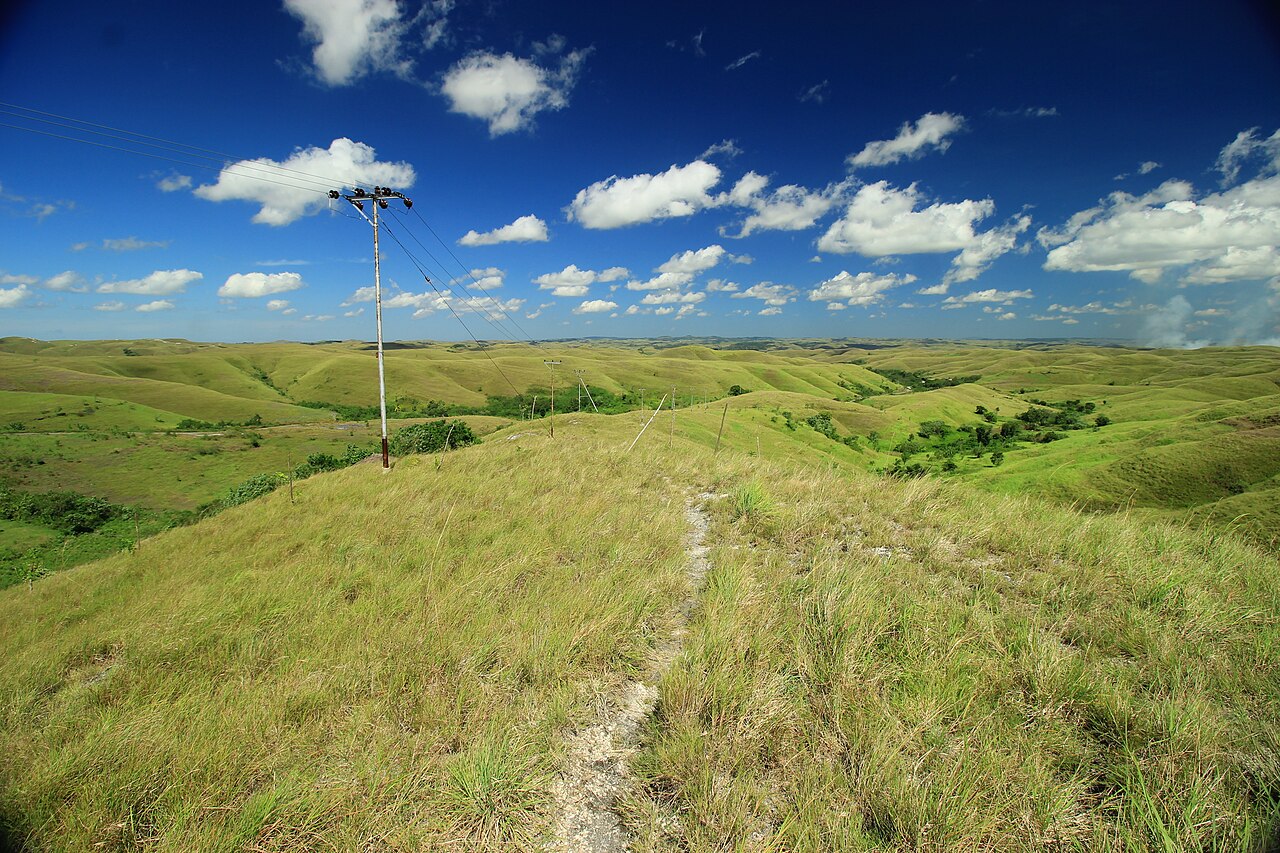

Sumba has two seasons, but they are not the same everywhere on the island. The east, around Waingapu, is one of the driest corners of Indonesia, with brown savanna for months. The hills of West Sumba around Waikabubak are greener, cooler and rainier. This guide uses ten years of daily weather data (2015 to 2024) to show what each month is really like, and what that means for your trip.
The short answer
- Best overall: May to October, the dry season: sunny, dry roads, calmer travel.
- Greenest landscapes: January to April, when the hills and rice fields are bright green and waterfalls are full.
- Pasola: February and March in West and Southwest Sumba; see our Pasola guide.
- Hottest: October and November, just before the rains.
Climate tables
Average daily maximum and minimum temperatures and monthly rainfall. The data come from the Open-Meteo historical weather service (ERA5 reanalysis, a weather model), averaged for 2015 to 2024. Models tend to overestimate rain in dry places, so read the rain column as a guide to the pattern rather than an exact figure.
Waingapu and East Sumba
| Month | Max °C | Min °C | Rain (mm, model) |
|---|---|---|---|
| Jan | 31 | 25 | 263 |
| Feb | 30 | 25 | 251 |
| Mar | 30 | 25 | 251 |
| Apr | 30 | 24 | 139 |
| May | 30 | 24 | 36 |
| Jun | 30 | 23 | 21 |
| Jul | 30 | 22 | 15 |
| Aug | 31 | 22 | 10 |
| Sep | 32 | 23 | 17 |
| Oct | 32 | 24 | 43 |
| Nov | 32 | 25 | 123 |
| Dec | 31 | 25 | 232 |
Tambolaka and the Kodi coast (Southwest Sumba)
| Month | Max °C | Min °C | Rain (mm, model) |
|---|---|---|---|
| Jan | 29 | 25 | 260 |
| Feb | 29 | 24 | 260 |
| Mar | 29 | 24 | 245 |
| Apr | 30 | 24 | 175 |
| May | 30 | 24 | 67 |
| Jun | 30 | 23 | 42 |
| Jul | 30 | 22 | 38 |
| Aug | 30 | 22 | 27 |
| Sep | 31 | 22 | 36 |
| Oct | 32 | 24 | 78 |
| Nov | 31 | 25 | 117 |
| Dec | 30 | 25 | 211 |
Waikabubak and the West Sumba highlands
| Month | Max °C | Min °C | Rain (mm, model) |
|---|---|---|---|
| Jan | 28 | 22 | 271 |
| Feb | 28 | 22 | 280 |
| Mar | 28 | 22 | 289 |
| Apr | 28 | 21 | 214 |
| May | 28 | 20 | 83 |
| Jun | 28 | 20 | 57 |
| Jul | 27 | 18 | 42 |
| Aug | 28 | 19 | 45 |
| Sep | 29 | 19 | 85 |
| Oct | 30 | 21 | 147 |
| Nov | 30 | 22 | 191 |
| Dec | 28 | 22 | 261 |
The south coast (around Tarimbang)
| Month | Max °C | Min °C | Rain (mm, model) |
|---|---|---|---|
| Jan | 29 | 25 | 337 |
| Feb | 29 | 24 | 282 |
| Mar | 30 | 24 | 254 |
| Apr | 30 | 24 | 196 |
| May | 30 | 24 | 44 |
| Jun | 30 | 23 | 30 |
| Jul | 30 | 22 | 22 |
| Aug | 30 | 22 | 27 |
| Sep | 30 | 22 | 48 |
| Oct | 31 | 24 | 77 |
| Nov | 31 | 24 | 136 |
| Dec | 30 | 25 | 278 |
Month by month
January to March
The heart of the wet season. Rain usually comes as heavy showers rather than all-day drizzle, often in the afternoon or at night, and there are sunny spells. The island is at its greenest, and waterfalls such as Lapopu and Tanggedu are powerful, though some can be muddy and some paths slippery. Unpaved roads can be difficult. February and March bring the Pasola.
April
A transition month: rain eases, especially in the east, while the hills are still green. A good compromise between landscapes and dry roads.
May and June
The dry season settles in. Skies are clear, the savanna begins to turn gold and travel is easy. Many visitors consider this the sweet spot.
July to September
The driest and, in the west and highlands, the coolest months, with fresh nights in Waikabubak. It is peak season for travel, so book flights early. The south and west coasts receive big swells from the Indian Ocean, good for surfing, see surfing in Sumba, but not for swimming on exposed beaches.
October and November
The hottest time of year, especially in East Sumba where daytime highs reach about 32 °C. Some waterfalls are thin. The first rains usually arrive in November.
December
The rains return; the landscape turns green within weeks. Holiday flights fill up around Christmas and New Year.
Weather tips
- Check the live forecast for the four towns on our Sumba weather page.
- Even in the dry season, bring a light rain jacket for the highlands.
- The sun is strong all year at 10° south: use sunscreen, a hat and water.
- In the wet season, plan the longest drives for the morning.
FAQ
What is the driest month in Sumba?
August is the driest month in Waingapu and East Sumba; July to September are dry across most of the island.
When is the rainy season in Sumba?
Roughly from November or December to March or April. January to March are usually the wettest months, especially in the west and the highlands.
Is East Sumba drier than West Sumba?
Yes. East Sumba is markedly drier; the hills around Waikabubak in the west receive the most rain and are also the coolest.
What is the temperature in Sumba?
On the coast, daytime highs are around 29 to 32 °C all year. Waikabubak, in the hills, is cooler, with highs near 27 to 29 °C and nights around 19 to 22 °C.
Guides
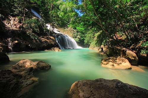
Sumba in the rainy season: is it worth visiting from November to April?
What travelling in Sumba during the wet season is really like: rain patterns, roads, waterfalls, green landscapes, the Pasola, and how to plan around the weather.
Hiring a driver in Sumba: how it works and what to agree
How to hire a car with driver in Sumba: where to find one, what is usually included, questions to ask, scooter vs car, and tips for a smooth trip.
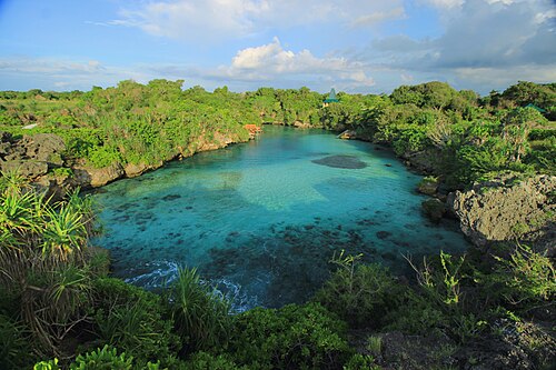
Sumba travel guide: everything you need to plan your trip
The complete guide to Sumba, Indonesia: when to go, how to get there from Bali, the four regions, what to see, costs, safety, etiquette and itineraries.
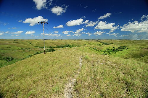
25 best things to do in Sumba
From Weekuri Lagoon to the Pasola, the dancing trees of Walakiri and the megalithic tombs of Anakalang: the best experiences on Sumba island, with a map.
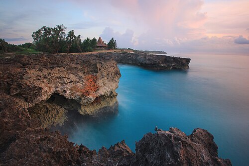
The best beaches in Sumba (with map)
Every beach worth the drive on Sumba: lagoons, surf breaks, sunset spots and empty white sand on all four coasts, with tips on safety and access.
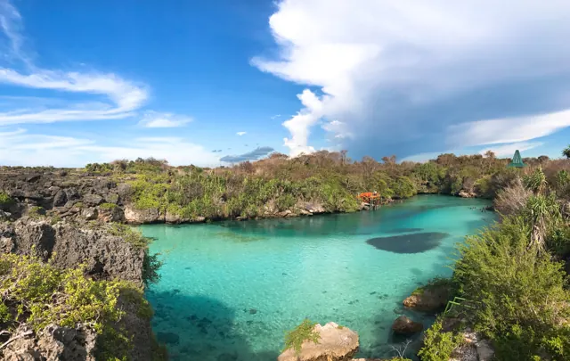
How to get from Bali to Sumba: flights, ferries and airports
Flights from Bali to Tambolaka (TMC) and Waingapu (WGP), which airport to choose, baggage limits, ferries and how to get from the airport to your hotel.