 EN▾









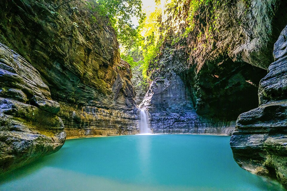
A small multi-step waterfall that pours into a clear natural pool ringed by greenery, at Umamanu in Lewa Tidahu, just across the border in East Sumba. Locals call it Pandjilu Watu, the water jar, and legend says couples who visit together get their wishes, hence the name Lovers' Pool. A short walk through farmland leads there from the road.
📷 Photos
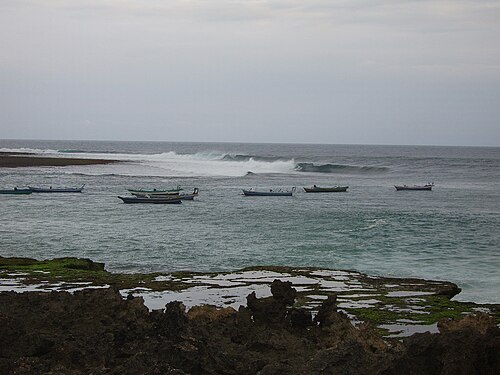
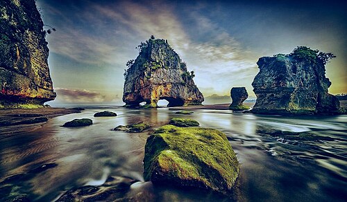
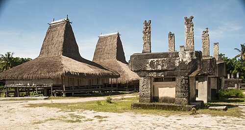
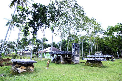
File photo: Sumba · Jordan siva (CC BY-SA 4.0) · File photo: Sumba · Herry Wibowo81 (CC BY-SA 3.0), Wikimedia Commons
🚗 Getting there: distances and drive times
| From | Straight line | By road (approx.) |
|---|---|---|
| Waibakul | 30 km | ~40 km · 1 h 15 min |
| Waikabubak | 46 km | ~60 km · 2 h |
| Waingapu | 55 km | ~75 km · 2 h 15 min |
| Eco Beach City · Mamboro | 55 km | ~75 km · 2 h 15 min |
| Waingapu Airport (WGP) | 58 km | ~80 km · 2 h 30 min |
| Tambolaka Airport (TMC) | 74 km | ~100 km · 3 h |
| Tambolaka | 74 km | ~100 km · 3 h |
Drive times are estimates for a car with a driver, at about 35 km/h on average including stops and slow village stretches. Allow more time in the rainy season and on the last unpaved section.
🌅 Sunrise and sunset
At Kolam Jodoh Waterfall the sun rises between 05:29 and 06:19 and sets between 17:46 and 18:30, local time (WITA, UTC+8), depending on the month. So close to the equator, days last about 12 hours all year, and it gets dark quickly after sunset.
✅ Plan your visit
- Water flow is strongest in and just after the rainy season (about December to April) and can be thin by September and October.
- Rocks are slippery: wear sandals or shoes with grip.
- Some paths are steep or cross rivers; ask locally before going after heavy rain.
- A small entry or parking fee and a local guide are common at popular falls.
📍 Also within 15 km
- Konda Beach · 14.2 km to the west
🌦️ Climate near Kolam Jodoh Waterfall by month
| Month | Jan | Feb | Mar | Apr | May | Jun | Jul | Aug | Sep | Oct | Nov | Dec |
|---|---|---|---|---|---|---|---|---|---|---|---|---|
| Max °C | 29 | 29 | 30 | 30 | 31 | 30 | 30 | 30 | 30 | 31 | 31 | 30 |
| Min °C | 25 | 25 | 25 | 24 | 24 | 23 | 22 | 22 | 22 | 24 | 25 | 25 |
| Rain mm | 337 | 282 | 254 | 196 | 44 | 30 | 22 | 27 | 48 | 77 | 136 | 278 |
Monthly averages for 2015 to 2024 from Open-Meteo historical weather data (ERA5 reanalysis, a weather model) for the nearest area: South coast (Tarimbang). Treat rainfall as approximate: models tend to overestimate it in dry areas.
Questions
Where is Kolam Jodoh Waterfall?
Kolam Jodoh Waterfall is in East Sumba, Sumba (East Nusa Tenggara, Indonesia), at -9.8105, 119.7888. The nearest town is Waibakul, about 30 km away in a straight line.
When is the best time to visit Kolam Jodoh Waterfall?
April to July: there is still water after the rains but the access roads have dried out.
How do I get to Kolam Jodoh Waterfall?
The closest airport is Waingapu Airport (WGP), about 58 km away in a straight line. Most visitors hire a car with a driver; roads off the main routes can be rough.
How far is Kolam Jodoh Waterfall from Waingapu Airport (WGP)?
Kolam Jodoh Waterfall is about 58 km in a straight line from Waingapu Airport (WGP), roughly 2 h 30 min by road.
How long is the drive from Waibakul to Kolam Jodoh Waterfall?
Plan on about 1 h 15 min for the roughly 40 km by road from Waibakul, and more after heavy rain.
Any tips for visiting Kolam Jodoh Waterfall?
Bring a towel for a swim and sandals with grip for the wet rocks.
Share a photo or tip
Been here? Send us your photo or tip. We review every message before publishing.