 EN▾





East or West Sumba? Which side to choose
The differences between East and West Sumba: landscapes, culture, beaches, weather, airports and which side suits your trip.

Sumba changes completely from one end to the other. If you only have a few days, choose one side; if you have five or more, see both by flying in and out of different airports.
West Sumba (including Southwest and Central)
- Landscape: greener, with rice terraces, forests and hills.
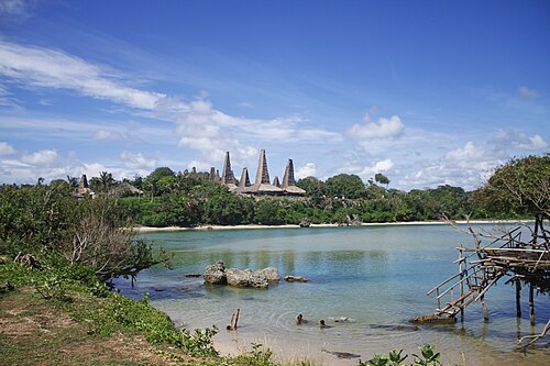
- Culture: the densest concentration of traditional villages and megalithic tombs, and the Pasola.
- Highlights: Weekuri, Mandorak, Ratenggaro, Lapopu, Marosi.
- Airport: Tambolaka (TMC).
East Sumba
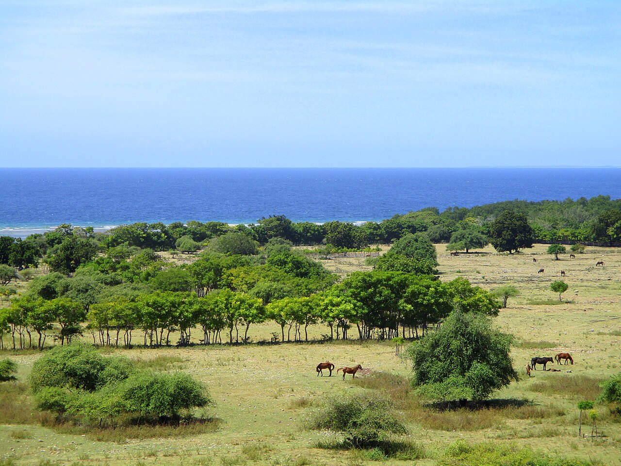
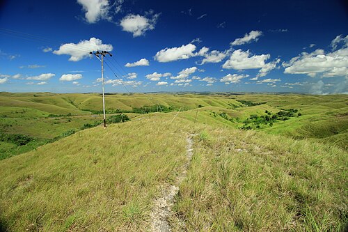
- Landscape: dry savanna, limestone hills and canyons; golden in the dry season.
- Culture: royal villages and the island's most famous ikat weaving.
- Highlights: Wairinding, Tanggedu, Walakiri, Puru Kambera, Prailiu.
- Airport: Waingapu (WGP).
Which to choose
Choose the west for culture and beaches, the east for landscapes and weaving. With five days or more, do both with our 5-day route.
West and Southwest Sumba
Greener and wetter, with the famous Kodi coast (Weekuri, Mandorak, Ratenggaro), the highland town of Waikabubak, many traditional villages and the Pasola in February and March. Gateway: Tambolaka.
East Sumba
Drier and more open, with savanna hills like Wairinding, the canyon of Tanggedu, the sunsets of Walakiri and ikat villages such as Prailiu. Gateway: Waingapu.
Central Sumba
Between the two, Central Sumba has the megalithic tombs of Anakalang and the quiet north coast at Mamboro. See the north coast.
📍 Places in this guide at a glance
| Place | Region | Type | Nearest airport |
|---|---|---|---|
| Weekuri Lagoon | Southwest Sumba | 🏖️ Beaches | ✈ TMC · 33 km · 1 h 30 min |
| Mandorak Beach | Southwest Sumba | 🏖️ Beaches | ✈ TMC · 33 km · 1 h 30 min |
| Ratenggaro Village | Southwest Sumba | 🛖 Villages | ✈ TMC · 36 km · 1 h 30 min |
| Lapopu Waterfall | Central Sumba | 💧 Waterfalls | ✈ TMC · 40 km · 1 h 45 min |
| Marosi Beach | West Sumba | 🏖️ Beaches | ✈ TMC · 40 km · 1 h 45 min |
| Wairinding Hill | East Sumba | ⛰️ Viewpoints | ✈ WGP · 22 km · 1 h |
| Tanggedu Waterfall | East Sumba | 💧 Waterfalls | ✈ WGP · 25 km · 1 h 15 min |
| Walakiri Beach | East Sumba | 🏖️ Beaches | ✈ WGP · 14 km · 45 min |
| Puru Kambera | East Sumba | 🏖️ Beaches | ✈ WGP · 28 km · 1 h 15 min |
| Prailiu Royal Village | East Sumba | 🛖 Villages | ✈ WGP · 3 km · 15 min |
🌦️ Climate by month: real data
Waingapu
| Month | Jan | Feb | Mar | Apr | May | Jun | Jul | Aug | Sep | Oct | Nov | Dec |
|---|---|---|---|---|---|---|---|---|---|---|---|---|
| Max °C | 31 | 30 | 30 | 30 | 30 | 30 | 30 | 31 | 32 | 32 | 32 | 31 |
| Min °C | 25 | 25 | 25 | 24 | 24 | 23 | 23 | 22 | 23 | 24 | 25 | 25 |
| Rain mm | 263 | 251 | 251 | 139 | 36 | 21 | 15 | 10 | 17 | 43 | 123 | 232 |
Waikabubak
| Month | Jan | Feb | Mar | Apr | May | Jun | Jul | Aug | Sep | Oct | Nov | Dec |
|---|---|---|---|---|---|---|---|---|---|---|---|---|
| Max °C | 28 | 28 | 28 | 28 | 28 | 28 | 27 | 28 | 29 | 30 | 30 | 28 |
| Min °C | 22 | 22 | 22 | 21 | 20 | 20 | 19 | 19 | 19 | 21 | 22 | 22 |
| Rain mm | 271 | 280 | 289 | 214 | 83 | 57 | 42 | 45 | 85 | 147 | 191 | 261 |
Monthly averages for 2015 to 2024 from Open-Meteo historical weather data (ERA5 reanalysis, a weather model) for the nearest area: Waingapu, Waikabubak. Treat rainfall as approximate: models tend to overestimate it in dry areas. →
FAQ
Is East or West Sumba better?
West Sumba has greener landscapes, more traditional villages and the famous beaches; East Sumba has the savanna hills, canyon waterfalls and ikat weaving. With five days or more, see both.
Guides
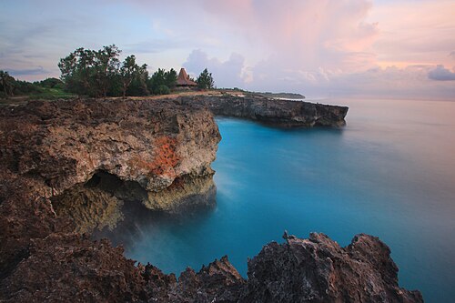
Sumba or Flores? How to choose between the two islands
Sumba vs Flores compared: landscapes, culture, Komodo, travel time, crowds, roads and budget, plus how to combine both islands in one trip.
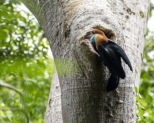
Sumba or Lombok? Honest comparison for your next trip
Sumba vs Lombok: beaches, surf, culture, infrastructure, crowds and travel time compared, to help you pick the right island.
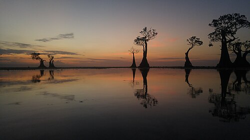
Hiring a driver in Sumba: how it works and what to agree
How to hire a car with driver in Sumba: where to find one, what is usually included, questions to ask, scooter vs car, and tips for a smooth trip.
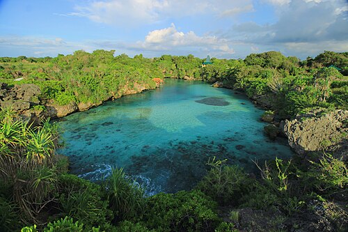
Sumba or Bali? An honest comparison
Crowds, flights, healthcare, culture and nature: where each island wins.
Sumba travel guide: everything you need to plan your trip
The complete guide to Sumba, Indonesia: when to go, how to get there from Bali, the four regions, what to see, costs, safety, etiquette and itineraries.
25 best things to do in Sumba
From Weekuri Lagoon to the Pasola, the dancing trees of Walakiri and the megalithic tombs of Anakalang: the best experiences on Sumba island, with a map.