 EN▾


Sumba's north coast: Mamboro, savanna and empty beaches
The quiet north coast of Central and East Sumba: the Mamboro savanna, Kapulit, Mananga, Karendi and Lenang beaches, Napu and Wunga.
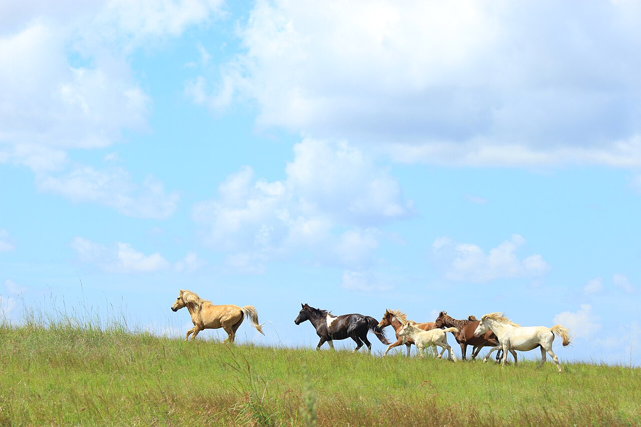

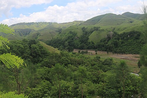
Most visitors stick to the south-west and the east. The north coast, facing the calm Sumba Strait towards Flores, is a different Sumba: dry savanna, fishing villages and beaches where you are usually alone.
Mamboro and Central Sumba's north coast
The Mamboro savanna rolls down to the sea around the villages of Mamboro and Wendewa. Nearby are Kapulit, a wide white beach with gentle waves, Mananga, where fishermen land their boats across a small lagoon, and Karendi, with river mouths, casuarinas and Second World War cannons. Further east, Lenang combines calm water, mangroves and traditional salt-making. See the full top 10 around Mamboro.
East Sumba's north coast
The Napu valley and the village of Wunga sit on the driest, most remote stretch of the island, where tradition says the first ancestors arrived.
Tips
- The north coast is calmer than the south: better for swimming and snorkelling.
- There are almost no shops; bring water, food and fuel.
- Light is spectacular early and late in the day.
Why the north coast
The north coast of Central and East Sumba is calmer than the south: the sea is often gentler, beaches are quiet and the savanna runs down to the shore. Around Mamboro you will find Kapulit, Mananga, Karendi and the Mamboro savanna.
Getting there
The coast road links Tambolaka and Waingapu. It is a good alternative to the inland route when crossing the island, with stops at beaches along the way. See the interactive map.
📍 Places in this guide at a glance
| Place | Region | Type | Nearest airport |
|---|---|---|---|
| Mamboro savanna | Central Sumba | ⛰️ Viewpoints | ✈ TMC · 33 km · 1 h 30 min |
| Kapulit Beach | Central Sumba | 🏖️ Beaches | ✈ TMC · 36 km · 1 h 30 min |
| Mananga Beach | Central Sumba | 🏖️ Beaches | ✈ TMC · 32 km · 1 h 30 min |
| Karendi Beach | Central Sumba | 🏖️ Beaches | ✈ TMC · 20 km · 1 h |
| Lenang Beach (Pahar) | Central Sumba | 🏖️ Beaches | ✈ TMC · 55 km · 2 h 15 min |
| Napu Valley | East Sumba | ⛰️ Viewpoints | ✈ WGP · 51 km · 2 h 15 min |
| Wunga Village | East Sumba | 🛖 Villages | ✈ WGP · 51 km · 2 h 15 min |
FAQ
How do you get to Mamboro?
Mamboro is on the north coast of Central Sumba, reached by road from Waibakul. Tambolaka airport is the closest for most visitors.
Guides
Hiring a driver in Sumba: how it works and what to agree
How to hire a car with driver in Sumba: where to find one, what is usually included, questions to ask, scooter vs car, and tips for a smooth trip.
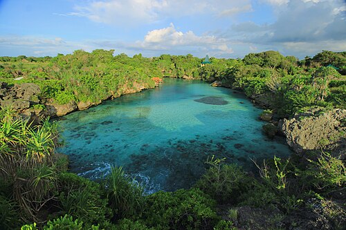
Sumba travel guide: everything you need to plan your trip
The complete guide to Sumba, Indonesia: when to go, how to get there from Bali, the four regions, what to see, costs, safety, etiquette and itineraries.
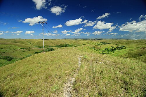
25 best things to do in Sumba
From Weekuri Lagoon to the Pasola, the dancing trees of Walakiri and the megalithic tombs of Anakalang: the best experiences on Sumba island, with a map.
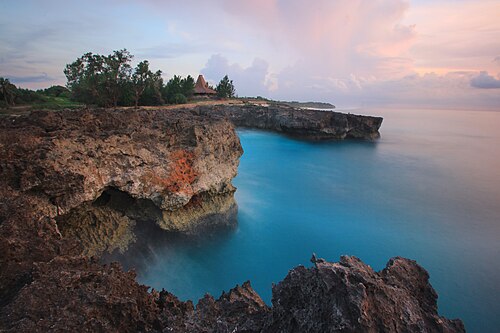
The best beaches in Sumba (with map)
Every beach worth the drive on Sumba: lagoons, surf breaks, sunset spots and empty white sand on all four coasts, with tips on safety and access.
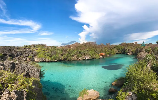
How to get from Bali to Sumba: flights, ferries and airports
Flights from Bali to Tambolaka (TMC) and Waingapu (WGP), which airport to choose, baggage limits, ferries and how to get from the airport to your hotel.
Getting around Sumba: drivers, scooters, roads and maps
How to travel around Sumba: hiring a car with driver, renting a scooter, road conditions, fuel, mobile signal and offline maps.