 EN▾





Sumba in numbers: population, size and key facts
Population, area, highest point, regencies and other key facts about Sumba, with sources.


Quick facts about Sumba with their sources. Figures from BPS (Badan Pusat Statistik, Indonesia's statistics office) are official estimates.
| Fact | Figure | Source |
|---|---|---|
| Population | about 850,000 (mid 2025 estimate) | BPS |
| Population at the 2020 census | about 779,000 | BPS census 2020 |
| Area | about 11,000 km² (sources differ slightly) | BPS, regional data |
| Highest point | Mount Wanggameti, about 1,225 m | Regional data |
| Regencies | 4 (since 2007) | Indonesian law |
| Largest regency | East Sumba, about 7,000 km² | BPS |
| Largest town | Waingapu | BPS |
| Province | East Nusa Tenggara (capital Kupang, on Timor) | |
| Time zone | WITA, UTC+8, same as Bali | |
| Airports | Tambolaka (TMC) and Waingapu (WGP) | |
| Places on our map | 50 | Sumba Secrets |
Size comparison#
Sumba is roughly twice the size of Bali, with a fraction of its population and visitors.
Using these figures#
Journalists and bloggers may use this table with a link to this page. See use our maps and data and the four regencies.
Guides
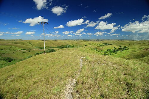
50 best things to do in Sumba
From Weekuri Lagoon to the Pasola, the dancing trees of Walakiri and the megalithic tombs of Anakalang: the best experiences on Sumba island, with a map.
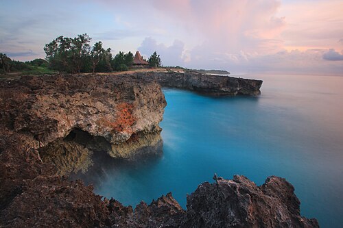
The best beaches in Sumba (with map)
Every beach worth the drive on Sumba: lagoons, surf breaks, sunset spots and empty white sand on all four coasts, with tips on safety and access.
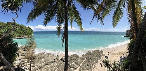
Where to stay in Sumba: the best areas for every trip
Which area of Sumba to stay in: Tambolaka and Kodi, Waikabubak and the south-west coast, Central Sumba and Waingapu in the east, and how to split your nights.
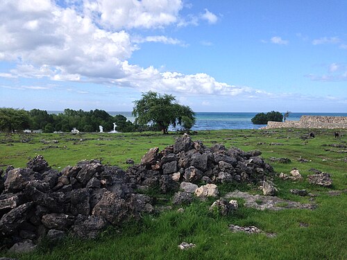
What to eat in Sumba: food, coffee and where to find it
Fresh fish, smoked meat, local vegetables, Sumba coffee and the betel-nut ritual: what you will eat on the island and practical tips.
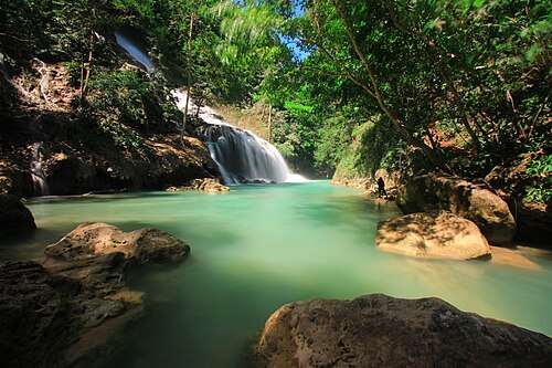
Sumba in the rainy season: is it worth visiting from November to April?
What travelling in Sumba during the wet season is really like: rain patterns, roads, waterfalls, green landscapes, the Pasola, and how to plan around the weather.
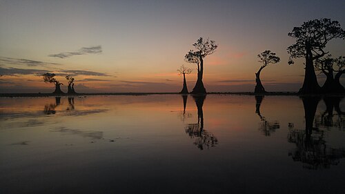
Best sunsets in Sumba: 9 places for golden hour
Where to watch the sunset in Sumba, from the dancing mangroves of Walakiri to the cliffs of Kodi and the savanna hills, with timing tips and sunset hours.