 EN▾







✦ Indonesia's best-kept island
Discover the Sumba few people see
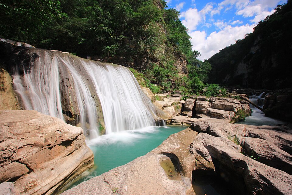
turquoise lagoons
Lagoons, waterfalls, megalithic villages and empty beaches, on one map, with live weather and honest tips. Part of the Sumba network with The Sumba Times.
All places
How do you want to live Sumba?
Pick an experience and we will show you where to go.
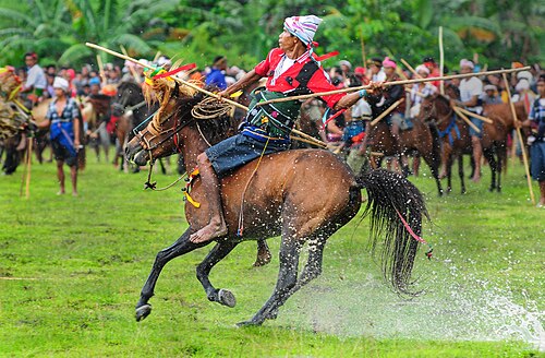
★ Secret of the day
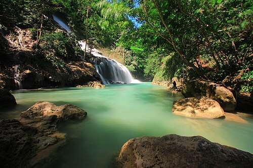
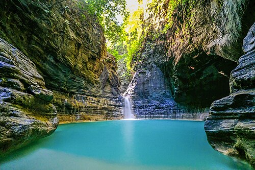
Matayangu Waterfall
Central Sumba · 💧 Waterfalls
A hidden waterfall deep in the forest of Matalawa National Park in Central Sumba, reached on foot along a jungle trail. Locals call it a sacred place, and it is one of the least visited sights on the island.
💡 Go with a local guide and good shoes; the trail is slippery after rain. Start early and carry water.
Discover it →★ Secret spot
Secret spots
Places most visitors miss. Go with respect, take your rubbish with you and leave them as you found them.
🏡 Mamboro · Central Sumba
Top 10 around Mamboro
The best beaches, waterfalls and villages within reach of Mamboro, on the quiet north coast of Central Sumba, sorted by distance.
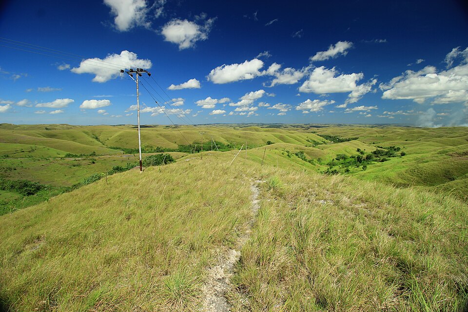
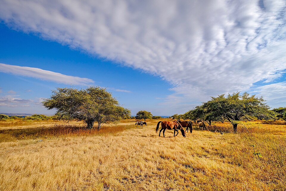
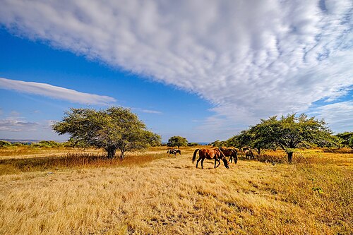
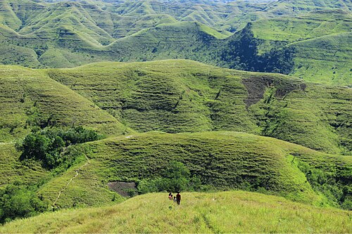
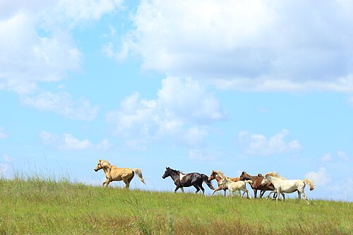 11 km from Mamboro⛰️ Viewpoints · ★Mamboro savanna
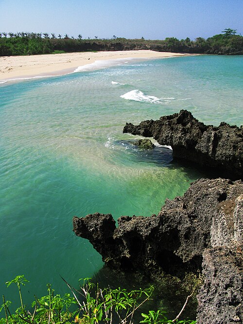
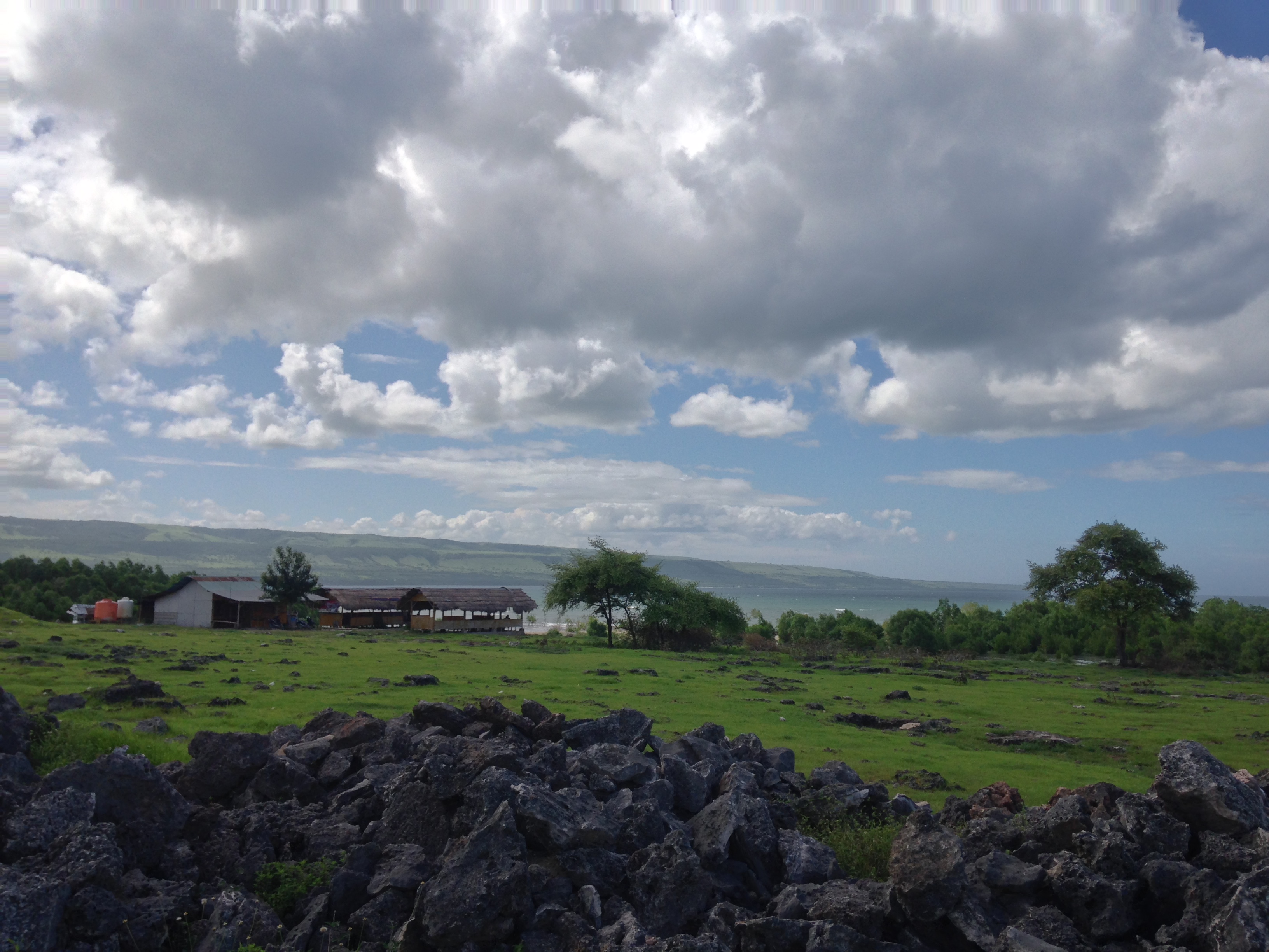 21 km from Mamboro🏖️ Beaches · ★Mananga Beach
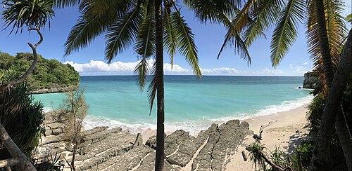 33 km from Mamboro🏖️ Beaches · ★Kapulit Beach
 413 km from Mamboro🏖️ Beaches · ★Karendi Beach
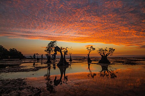 522 km from Mamboro🏖️ Beaches · ★Lenang Beach (Pahar)
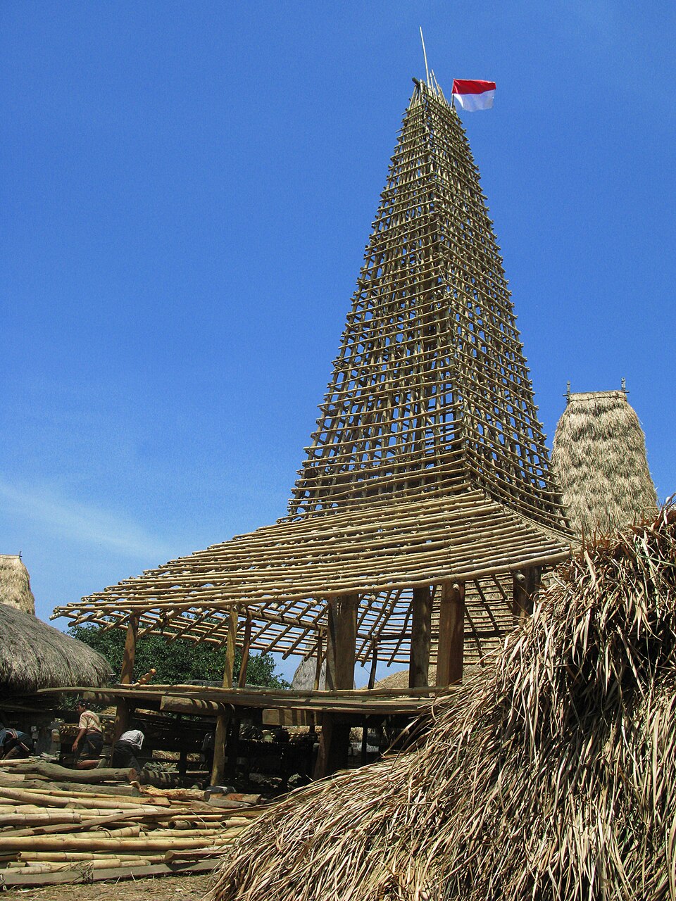
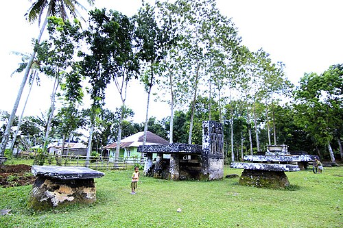 624 km from Mamboro🛖 VillagesPasunga Village727 km from Mamboro🐎 Culture · ★Gallubakul stone tomb
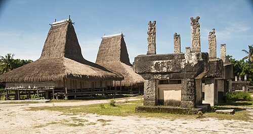 829 km from Mamboro🛖 Villages · ★Deri Kambajawa Village
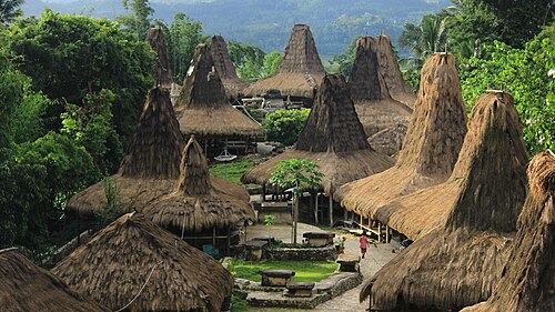 929 km from Mamboro🛖 VillagesPrai Ijing Village
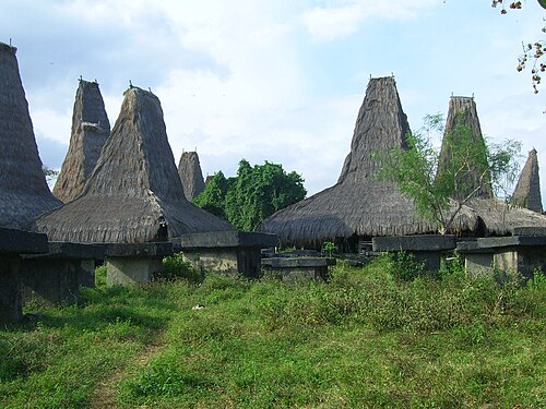 1032 km from Mamboro🛖 VillagesTarung Village
Why Sumba?
Empty beaches
Bays and lagoons where you are often the only person on the sand.
A living culture
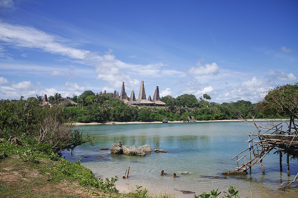
Villages of towering roofs, megalithic tombs and the Marapu belief, still part of daily life.
Wild nature
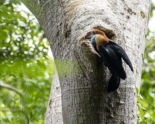
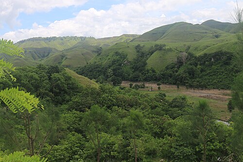
Golden savanna, wild horses, canyons of turquoise pools and forests full of endemic birds.
Itineraries
Plan your trip in 3 steps
3, 5 or 7 days: we have a route for each.
Tambolaka in the west or Waingapu in the east, via Bali.
The easiest and safest way to reach the secret spots.
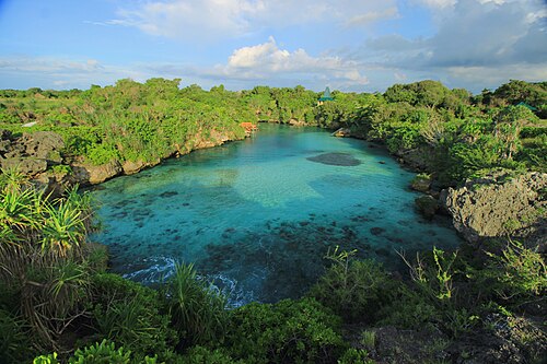 3 daysSumba in 3 days: a route for the westThree days around Tambolaka, Kodi and West Sumba: lagoons, megalithic villages and waterfalls.
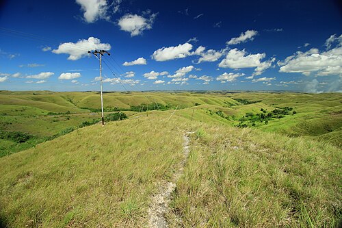 5 daysSumba in 5 days: west and eastFive days crossing the island from Tambolaka to Waingapu, with the highlights of both sides.
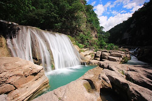 7 daysSumba in 7 days: the complete routeA full week to see Sumba slowly, including the remote south and north coasts.
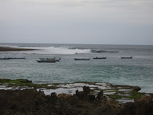 10 daysSumba itinerary: 10 days from west to eastA 10-day Sumba itinerary that covers the Kodi coast, Waikabubak's villages, Central Sumba, the north coast, East Sumba's savanna and the south coast, with drive times.
▶ Watch Sumba
Real videos by travellers and locals. Tap to play.
🗺️ Map
Explore the interactive map
Satellite view, regions, routes and every secret spot on one screen.
Open the map →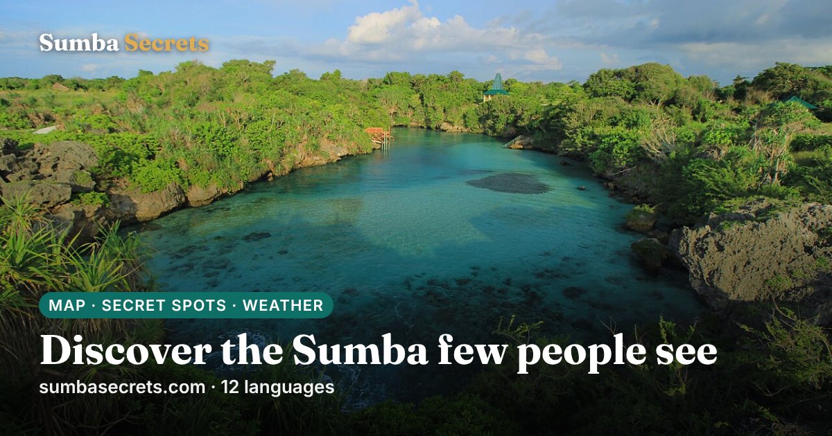
Sumba right now
Live conditions and 7-day forecast for Sumba's main towns, updated every hour. 7-day forecast →
Waingapu
Waikabubak
Tambolaka
Waibakul
More guides
Sumba travel guide: everything you need to plan your trip
The complete guide to Sumba, Indonesia: when to go, how to get there from Bali, the four regions, what to see, costs, safety, etiquette and itineraries.
25 best things to do in Sumba
From Weekuri Lagoon to the Pasola, the dancing trees of Walakiri and the megalithic tombs of Anakalang: the best experiences on Sumba island, with a map.
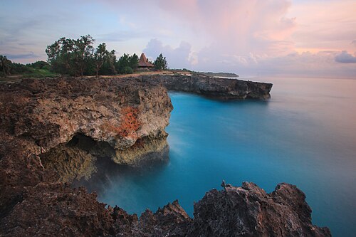
The best beaches in Sumba (with map)
Every beach worth the drive on Sumba: lagoons, surf breaks, sunset spots and empty white sand on all four coasts, with tips on safety and access.
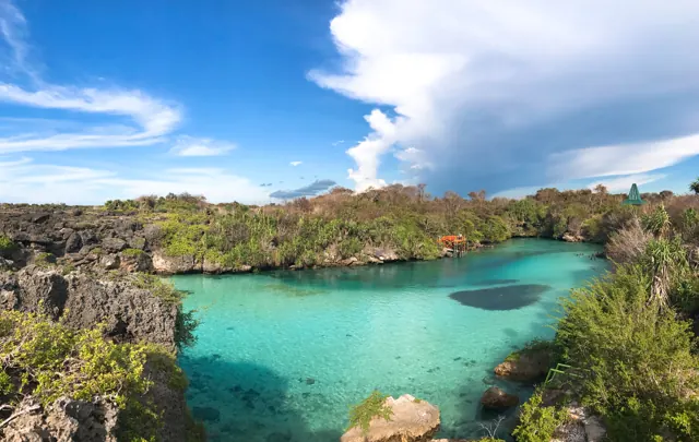
How to get from Bali to Sumba: flights, ferries and airports
Flights from Bali to Tambolaka (TMC) and Waingapu (WGP), which airport to choose, baggage limits, ferries and how to get from the airport to your hotel.
Getting around Sumba: drivers, scooters, roads and maps
How to travel around Sumba: hiring a car with driver, renting a scooter, road conditions, fuel, mobile signal and offline maps.
Where to stay in Sumba: the best areas for every trip
Which area of Sumba to stay in: Tambolaka and Kodi, Waikabubak and the south-west coast, Central Sumba and Waingapu in the east, and how to split your nights.