 EN▾




Places to visit in Sumba: all 41 spots by region
Every place worth visiting in Sumba, grouped by region with a one-line description, map links and distances: beaches, waterfalls, villages, hills and culture.
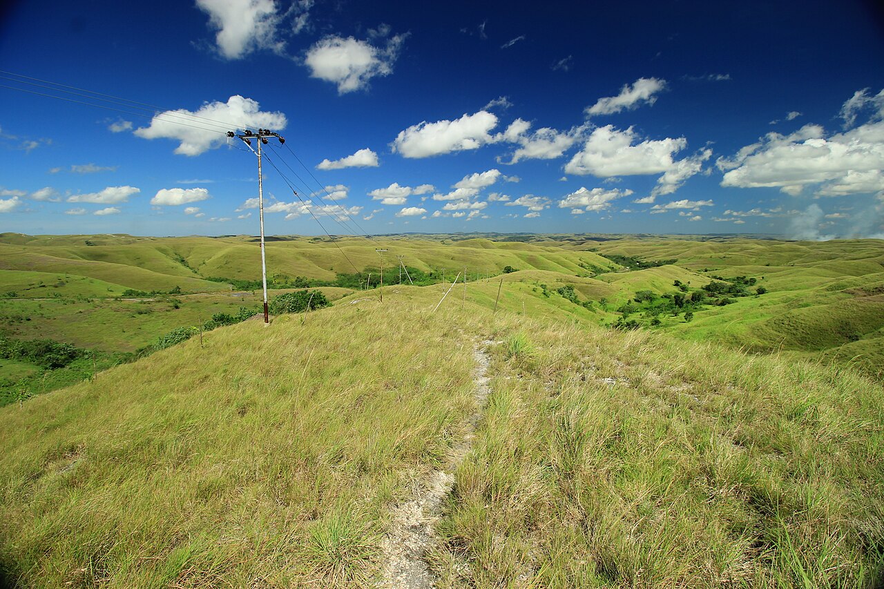

This is our complete list of places to visit in Sumba, grouped by the island's four regions. Every place has its own page with photos, a map, how to get there, drive times, sunrise and sunset and practical tips. Use it to build your route, or open the interactive map to see everything at once.
Short on time? Start with our Sumba travel guide.
Southwest Sumba
- Weekuri Lagoon (Beaches). A saltwater lagoon cut off from the open ocean by a wall of coral rock.
- Mandorak Beach (Beaches). A tiny cove of white sand squeezed between two cliffs, a few minutes from Weekuri Lagoon.
- Ratenggaro Village (Villages). A traditional Kodi village of towering thatched roofs and stone megalithic tombs set right above the beach.
- Wainyapu Village (Villages). Ratenggaro's quieter neighbour, across the river mouth.
- Pero Beach (Beaches). A working fishing village on the Kodi coast with wooden boats pulled up on the sand and a reef break that draws a handful of surfers.
- Watu Maladong Beach (Beaches). A remote beach on the south coast of Southwest Sumba, framed by big rock formations and clear water.
- Weekacura Waterfall (Waterfalls). A waterfall in the middle of rice fields at Tema Tana, Wewewa Timur, in Southwest Sumba.
West Sumba
- Marosi Beach (Beaches). A long, wide stretch of pale sand on the Lamboya coast of West Sumba, backed by palms and fields.
- Tarung Village (Villages). A hilltop traditional village in the middle of Waikabubak, the capital of West Sumba.
- Pasola field, Wanokaka (Culture). The open field where Wanokaka holds the Pasola, a ritual contest in which riders throw blunt wooden spears at each other on horseback.
- Waigalli Village (Villages). A hilltop traditional village in Wanokaka, West Sumba, with high-roofed houses and stone tombs, close to the field where the Wanokaka Pasola is held.
- Rua Beach (Beaches). A pale-sand beach on the south coast of West Sumba, with clear water and few people.
- Prai Ijing Village (Villages). A traditional village in Tebara, on the edge of Waikabubak in West Sumba, with several dozen high-roofed clan houses rising in terraces up a hillside around megalithic tombs.
Central Sumba
- Lapopu Waterfall (Waterfalls). One of Sumba's tallest waterfalls, tumbling down a series of rock terraces inside Matalawa National Park, on the border of West and Central Sumba.
- Matayangu Waterfall (Waterfalls). A hidden waterfall deep in the forest of Matalawa National Park in Central Sumba, reached on foot along a jungle trail.
- Mamboro savanna (Viewpoints). Rolling savanna on the north coast of Central Sumba, around the villages of Mamboro and Wendewa.
- Pasunga Village (Villages). A traditional village in Anakalang, Central Sumba, with rows of high-roofed houses facing each other across a square of megalithic stone tombs.
- Gallubakul stone tomb (Culture). Home to the tomb of Umbu Sawola, one of the largest megalithic graves in Sumba: a single slab of stone said to weigh around 70 tonnes.
- Harunda Waterfall (Waterfalls). A waterfall about 20 metres high in the village of Soru, Umbu Ratu Nggay, in the east of Central Sumba, roughly 45 km from Waibakul.
- Kapulit Beach (Beaches). A wide white-sand beach at Watu Asa, in Mamboro on the north coast of Central Sumba, about 34 km from Waibakul.
- Mananga Beach (Beaches). A long beach at Mananga, in Mamboro, reached by crossing a small saltwater lagoon in a local boat.
- Karendi Beach (Beaches). A white-sand beach at Susu Wendewa, in western Mamboro, where two river mouths meet the sea under casuarina trees.
- Lenang Beach (Pahar) (Beaches). Pahar Beach at Lenang, in Umbu Ratu Nggay, is a stretch of white sand with clear blue-green water, mangroves and coconut palms, about 40 km from Waibakul.
- Deri Kambajawa Village (Villages). A traditional village in the Umbu Pabal customary area, east of Waibakul, known for its tower-like clan houses that reach up to about 30 metres, among the tallest in Sumba.
- Maloba Beach (Beaches). A wide white-sand beach on the south coast of Central Sumba, about 25 km south of Waibakul.
- Konda Beach (Beaches). A black-sand beach near the mouth of the Konda river on the south coast of Central Sumba, rare on an island of white beaches.
East Sumba
- Wairinding Hill (Viewpoints). Rolling grass hills beside the main road west of Waingapu, green in the rainy season and gold in the dry months.
- Brotherhood Hill (Viewpoints). Bukit Persaudaraan, a ridge of savanna hills just outside Waingapu with wide views over valleys, rice fields and the sea.
- Prailiu Royal Village (Villages). A traditional royal village inside Waingapu, known for its hand-woven ikat.
- Walakiri Beach (Beaches). A shallow beach east of Waingapu where small mangrove trees stand in the water.
- Puru Kambera (Beaches). Where the savanna of East Sumba runs straight into the sea, north-west of Waingapu.
- Praiyawang, Rende (Villages). The old royal village of Rende in south-east Sumba, famous for some of the largest carved stone tombs on the island and for fine ikat.
- Waimarang Waterfall (Waterfalls). A waterfall that drops into a round, jade-green pool surrounded by rock walls, in the Rindi area of East Sumba.
- Tarimbang Bay (Beaches). A remote bay on the south coast of East Sumba, reached by a long, winding road through the hills.
- Wanggameti (Viewpoints). The highlands around Mount Wanggameti, the highest point of Sumba, inside Matalawa National Park.
- Tanggedu Waterfall (Waterfalls). A river that has carved a narrow rock canyon in the hills of East Sumba, leaving a staircase of turquoise pools and small falls.
- Wunga Village (Villages). A traditional village on the dry north coast of East Sumba.
- Londa Lima Beach (Beaches). A long stretch of sand a short drive north-west of Waingapu, where local families come at weekends and in the late afternoon.
- Padadita Beach (Beaches). Waingapu's town beach, where fishing boats come in and locals gather in the evening.
- Napu Valley (Viewpoints). Wide grassy hills and a green river valley around the village of Napu, in Haharu on the north coast of East Sumba.
- Kolam Jodoh Waterfall (Waterfalls). A small multi-step waterfall that pours into a clear natural pool ringed by greenery, at Umamanu in Lewa Tidahu, just across the border in East Sumba.
📍 Places in this guide at a glance
| Place | Region | Type | Nearest airport |
|---|---|---|---|
| Weekuri Lagoon | Southwest Sumba | 🏖️ Beaches | ✈ TMC · 33 km · 1 h 30 min |
| Mandorak Beach | Southwest Sumba | 🏖️ Beaches | ✈ TMC · 33 km · 1 h 30 min |
| Ratenggaro Village | Southwest Sumba | 🛖 Villages | ✈ TMC · 36 km · 1 h 30 min |
| Wainyapu Village | Southwest Sumba | 🛖 Villages | ✈ TMC · 36 km · 1 h 30 min |
| Pero Beach | Southwest Sumba | 🏖️ Beaches | ✈ TMC · 36 km · 1 h 30 min |
| Watu Maladong Beach | Southwest Sumba | 🏖️ Beaches | ✈ TMC · 37 km · 1 h 30 min |
| Weekacura Waterfall | Southwest Sumba | 💧 Waterfalls | ✈ TMC · 23 km · 1 h |
| Marosi Beach | West Sumba | 🏖️ Beaches | ✈ TMC · 40 km · 1 h 45 min |
| Tarung Village | West Sumba | 🛖 Villages | ✈ TMC · 31 km · 1 h 15 min |
| Pasola field, Wanokaka | West Sumba | 🐎 Culture | ✈ TMC · 41 km · 1 h 45 min |
| Waigalli Village | West Sumba | 🛖 Villages | ✈ TMC · 40 km · 1 h 45 min |
| Rua Beach | West Sumba | 🏖️ Beaches | ✈ TMC · 43 km · 1 h 45 min |
| Prai Ijing Village | West Sumba | 🛖 Villages | ✈ TMC · 34 km · 1 h 30 min |
| Lapopu Waterfall | Central Sumba | 💧 Waterfalls | ✈ TMC · 40 km · 1 h 45 min |
| Matayangu Waterfall | Central Sumba | 💧 Waterfalls | ✈ TMC · 41 km · 1 h 45 min |
| Mamboro savanna | Central Sumba | ⛰️ Viewpoints | ✈ TMC · 33 km · 1 h 30 min |
| Pasunga Village | Central Sumba | 🛖 Villages | ✈ TMC · 41 km · 1 h 45 min |
| Gallubakul stone tomb | Central Sumba | 🐎 Culture | ✈ TMC · 42 km · 1 h 45 min |
| Harunda Waterfall | Central Sumba | 💧 Waterfalls | ✈ WGP · 50 km · 2 h |
| Kapulit Beach | Central Sumba | 🏖️ Beaches | ✈ TMC · 36 km · 1 h 30 min |
| Mananga Beach | Central Sumba | 🏖️ Beaches | ✈ TMC · 32 km · 1 h 30 min |
| Karendi Beach | Central Sumba | 🏖️ Beaches | ✈ TMC · 20 km · 1 h |
| Lenang Beach (Pahar) | Central Sumba | 🏖️ Beaches | ✈ TMC · 55 km · 2 h 15 min |
| Deri Kambajawa Village | Central Sumba | 🛖 Villages | ✈ TMC · 50 km · 2 h |
| Maloba Beach | Central Sumba | 🏖️ Beaches | ✈ TMC · 57 km · 2 h 15 min |
| Konda Beach | Central Sumba | 🏖️ Beaches | ✈ TMC · 62 km · 2 h 30 min |
| Wairinding Hill | East Sumba | ⛰️ Viewpoints | ✈ WGP · 22 km · 1 h |
| Brotherhood Hill | East Sumba | ⛰️ Viewpoints | ✈ WGP · 1 km · 15 min |
| Prailiu Royal Village | East Sumba | 🛖 Villages | ✈ WGP · 3 km · 15 min |
| Walakiri Beach | East Sumba | 🏖️ Beaches | ✈ WGP · 14 km · 45 min |
| Puru Kambera | East Sumba | 🏖️ Beaches | ✈ WGP · 28 km · 1 h 15 min |
| Praiyawang, Rende | East Sumba | 🛖 Villages | ✈ WGP · 50 km · 2 h |
| Waimarang Waterfall | East Sumba | 💧 Waterfalls | ✈ WGP · 47 km · 2 h |
| Tarimbang Bay | East Sumba | 🏖️ Beaches | ✈ WGP · 51 km · 2 h 15 min |
| Wanggameti | East Sumba | ⛰️ Viewpoints | ✈ WGP · 50 km · 2 h |
| Tanggedu Waterfall | East Sumba | 💧 Waterfalls | ✈ WGP · 25 km · 1 h 15 min |
| Wunga Village | East Sumba | 🛖 Villages | ✈ WGP · 51 km · 2 h 15 min |
| Londa Lima Beach | East Sumba | 🏖️ Beaches | ✈ WGP · 12 km · 30 min |
| Padadita Beach | East Sumba | 🏖️ Beaches | ✈ WGP · 4 km · 15 min |
| Napu Valley | East Sumba | ⛰️ Viewpoints | ✈ WGP · 51 km · 2 h 15 min |
| Kolam Jodoh Waterfall | East Sumba | 💧 Waterfalls | ✈ WGP · 58 km · 2 h 30 min |
FAQ
What is the most famous place in Sumba?
Weekuri Lagoon in Southwest Sumba is the most photographed place on the island, followed by Wairinding Hill and Walakiri Beach in the east.
How many days do I need to see Sumba?
Five days covers the highlights of the west and east; ten days lets you see all four regions comfortably.
Guides
25 best things to do in Sumba
From Weekuri Lagoon to the Pasola, the dancing trees of Walakiri and the megalithic tombs of Anakalang: the best experiences on Sumba island, with a map.
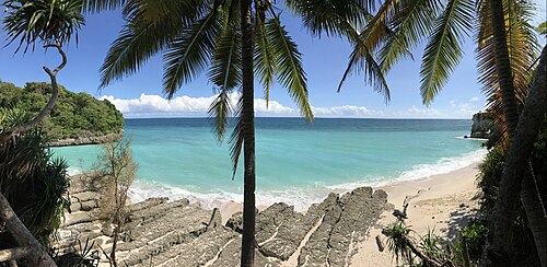
Where to stay in Sumba: the best areas for every trip
Which area of Sumba to stay in: Tambolaka and Kodi, Waikabubak and the south-west coast, Central Sumba and Waingapu in the east, and how to split your nights.
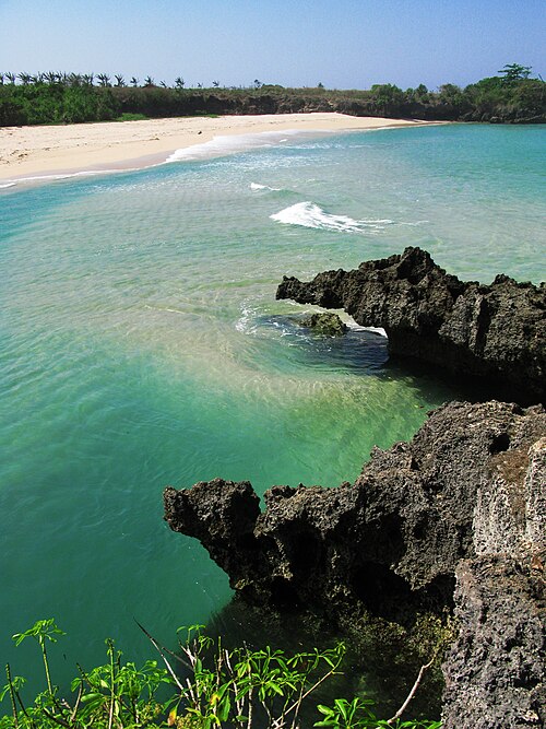
Is Sumba worth visiting? An honest answer
The good and the hard parts of travelling in Sumba, who will love it and who should choose somewhere else.
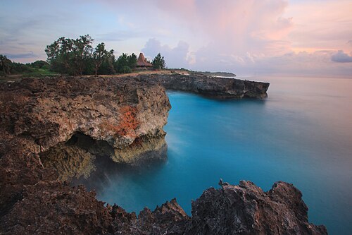
The best beaches in Sumba (with map)
Every beach worth the drive on Sumba: lagoons, surf breaks, sunset spots and empty white sand on all four coasts, with tips on safety and access.
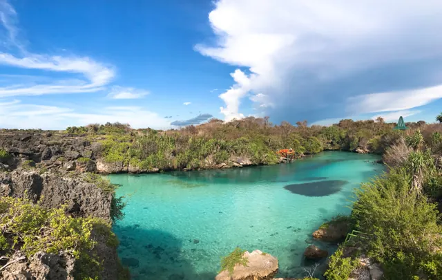
How to get from Bali to Sumba: flights, ferries and airports
Flights from Bali to Tambolaka (TMC) and Waingapu (WGP), which airport to choose, baggage limits, ferries and how to get from the airport to your hotel.
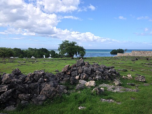
What to eat in Sumba: food, coffee and where to find it
Fresh fish, smoked meat, local vegetables, Sumba coffee and the betel-nut ritual: what you will eat on the island and practical tips.