 EN▾






Central Sumba (Sumba Tengah): the least visited part of the island
A guide to Central Sumba: Waibakul, Anakalang's megaliths, the north coast around Mamboro and how to get there.
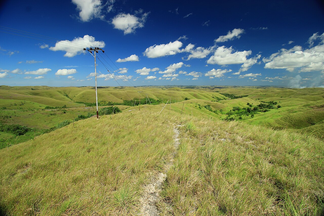

Central Sumba (Sumba Tengah) is the smallest regency by population and the one most travellers drive straight through on the way between east and west. That is a pity: it has some of the island's most impressive megaliths, quiet villages and an almost untouched north coast.
In brief#
- Capital: Waibakul.
- Population: about 94,000 (BPS estimate, mid 2025).
- Created: 2007, from parts of West and East Sumba.
- North coast: the Mamboro area, with a small port, long beaches and fishing villages.
Anakalang and the megaliths#
The Anakalang area near Waibakul is known for large stone tombs, some carved, standing in village squares. See megalithic tombs of Sumba.
Mamboro and the north coast#
The coast north of Waibakul is quiet and rarely visited, with beaches, mangroves and villages where daily life goes on as it always has. We live here, and we have mapped the ten best places in our Mamboro top 10.
Getting there#
Central Sumba lies between the two airports: roughly halfway between Tambolaka and Waingapu. The main trans-Sumba road passes through Waibakul.
Why stop here#
- Break up the long drive across the island.
- See villages and tombs without crowds.
- Combine savannah, coast and culture in a single day.
Guides
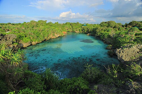
Sumba travel guide: everything you need to plan your trip
The complete guide to Sumba, Indonesia: when to go, how to get there from Bali, the four regions, what to see, costs, safety, etiquette and itineraries.
Hiring a driver in Sumba: how it works and what to agree
How to hire a car with driver in Sumba: where to find one, what is usually included, questions to ask, scooter vs car, and tips for a smooth trip.
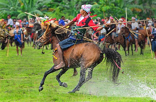
Pasola: Sumba's horseback spear ritual
What the Pasola is, where it happens and how to watch it respectfully.
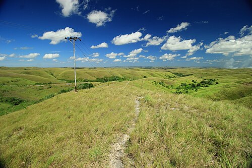
50 best things to do in Sumba
From Weekuri Lagoon to the Pasola, the dancing trees of Walakiri and the megalithic tombs of Anakalang: the best experiences on Sumba island, with a map.
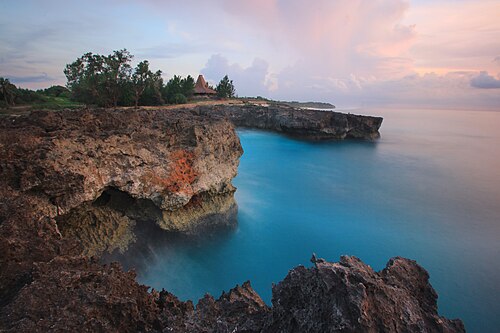
The best beaches in Sumba (with map)
Every beach worth the drive on Sumba: lagoons, surf breaks, sunset spots and empty white sand on all four coasts, with tips on safety and access.
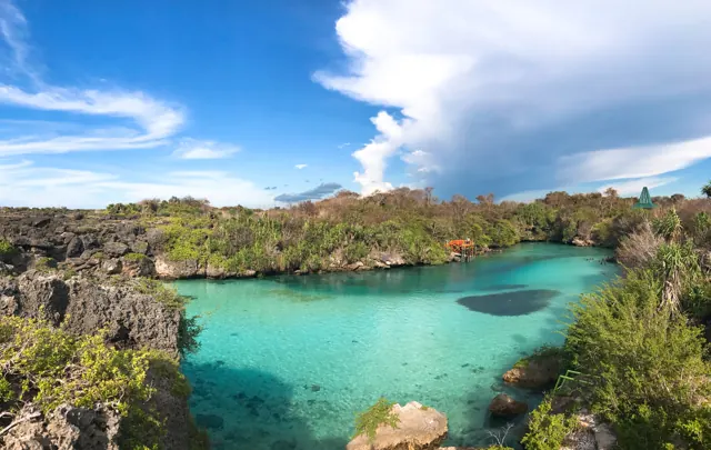
How to get from Bali to Sumba: flights, ferries and airports
Flights from Bali to Tambolaka (TMC) and Waingapu (WGP), which airport to choose, baggage limits, ferries and how to get from the airport to your hotel.