 EN▾











Day trips from Waikabubak: 14 places within 90 km
Beaches, villages, waterfalls and viewpoints you can reach in a day from Waikabubak, Sumba, with road distance and drive time for each.
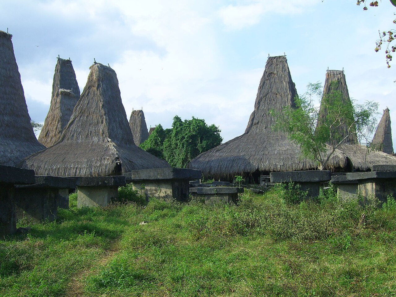

Waikabubak, capital of West Sumba, sits in green hills surrounded by traditional villages, and is the best base for Marapu culture and the south coast.
These are the places on our map within about 90 km by road of Waikabubak, closest first. Drive times are estimates from straight-line distance (times 1.35 for the road, about 35 km/h on average); allow more in the rainy season and on village tracks.
Places within reach of Waikabubak#
| Place | Type | By road | Drive |
|---|---|---|---|
| Tarung Village | traditional village | ~1 km | ~15 min |
| Prai Ijing Village | traditional village | ~8 km | ~30 min |
| Prai Ijing Village | traditional village | ~8 km | ~30 min |
| Waigalli Village | traditional village | ~15 km | ~30 min |
| Weekacura Waterfall | waterfall | ~15 km | ~30 min |
| Lapopu Waterfall | waterfall | ~15 km | ~30 min |
| Pasola field, Wanokaka | culture | ~15 km | ~30 min |
| Matayangu Waterfall | waterfall | ~15 km | ~30 min |
| Rua Beach | beach | ~20 km | ~45 min |
| Gallubakul stone tomb | culture | ~25 km | ~45 min |
| Marosi Beach | beach | ~25 km | ~45 min |
| Pasunga Village | traditional village | ~25 km | ~1 h |
| Deri Kambajawa Village | traditional village | ~35 km | ~1 h 15 min |
| Deri Kambajawa Village | traditional village | ~35 km | ~1 h 15 min |
An easy half day#
Start with the closest: Tarung Village, Prai Ijing Village, Prai Ijing Village. All three are within about 30 min of Waikabubak.
Plan it#
Villages ask for a donation and a guide is recommended; see our etiquette guide before you go. Check any route between two points with our trip planner tools and see everything on the interactive map.
📍 Places in this guide at a glance
| Place | Region | Type | Nearest airport |
|---|---|---|---|
| Tarung Village | West Sumba | 🛖 Villages | ✈ TMC · 31 km · 1 h 15 min |
| Prai Ijing Village | West Sumba | 🛖 Villages | ✈ TMC · 34 km · 1 h 30 min |
| Waigalli Village | West Sumba | 🛖 Villages | ✈ TMC · 40 km · 1 h 45 min |
| Weekacura Waterfall | Southwest Sumba | 💧 Waterfalls | ✈ TMC · 23 km · 1 h |
| Lapopu Waterfall | Central Sumba | 💧 Waterfalls | ✈ TMC · 40 km · 1 h 45 min |
| Pasola field, Wanokaka | West Sumba | 🐎 Culture | ✈ TMC · 41 km · 1 h 45 min |
| Matayangu Waterfall | Central Sumba | 💧 Waterfalls | ✈ TMC · 41 km · 1 h 45 min |
| Rua Beach | West Sumba | 🏖️ Beaches | ✈ TMC · 43 km · 1 h 45 min |
| Gallubakul stone tomb | Central Sumba | 🐎 Culture | ✈ TMC · 42 km · 1 h 45 min |
| Marosi Beach | West Sumba | 🏖️ Beaches | ✈ TMC · 40 km · 1 h 45 min |
| Pasunga Village | Central Sumba | 🛖 Villages | ✈ TMC · 41 km · 1 h 45 min |
| Deri Kambajawa Village | Central Sumba | 🛖 Villages | ✈ TMC · 50 km · 2 h |
FAQ
What is closest to Waikabubak?
Tarung Village, about 1 km by road (15 min), then Prai Ijing Village and Prai Ijing Village.
Guides
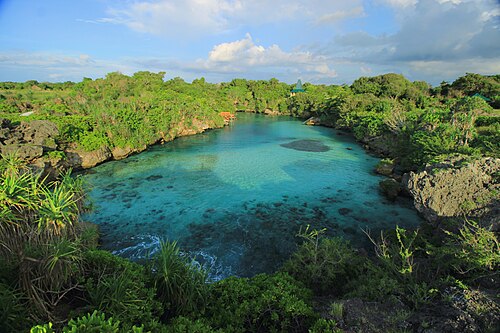
Day trips from Tambolaka: 14 places within 90 km
Beaches, villages, waterfalls and viewpoints you can reach in a day from Tambolaka, Sumba, with road distance and drive time for each.
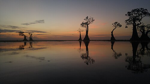
Day trips from Waingapu: 14 places within 90 km
Beaches, villages, waterfalls and viewpoints you can reach in a day from Waingapu, Sumba, with road distance and drive time for each.
Hiring a driver in Sumba: how it works and what to agree
How to hire a car with driver in Sumba: where to find one, what is usually included, questions to ask, scooter vs car, and tips for a smooth trip.
How much does a trip to Sumba cost? A realistic budget breakdown
What you will actually spend money on in Sumba: flights, transport, rooms, food, entry donations and guides, and how to keep costs down.
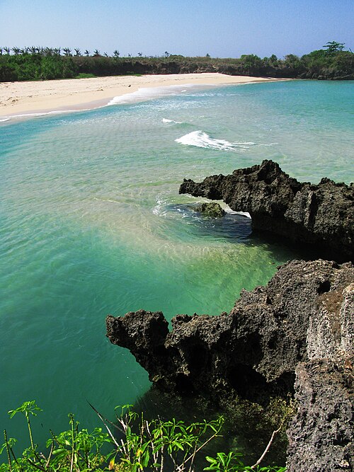
Sumba from Australia: how to get there and what to expect
Getting to Sumba from Australia via Bali, time zone, when to go, money and what makes Sumba different from Bali for Australian travellers.
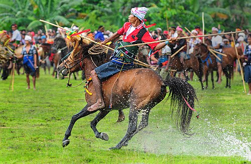
Pasola: Sumba's horseback spear ritual
What the Pasola is, where it happens and how to watch it respectfully.