 EN▾










Day trips from Waingapu: 14 places within 90 km
Beaches, villages, waterfalls and viewpoints you can reach in a day from Waingapu, Sumba, with road distance and drive time for each.


Waingapu is the largest town on the island and the gateway to East Sumba: savannah hills, ikat-weaving villages and long empty beaches.
These are the places on our map within about 90 km by road of Waingapu, closest first. Drive times are estimates from straight-line distance (times 1.35 for the road, about 35 km/h on average); allow more in the rainy season and on village tracks.
Places within reach of Waingapu#
| Place | Type | By road | Drive |
|---|---|---|---|
| Prailiu Royal Village | traditional village | ~2 km | ~15 min |
| Padadita Beach | beach | ~3 km | ~15 min |
| Brotherhood Hill | viewpoint | ~6 km | ~15 min |
| Londa Lima Beach | beach | ~10 km | ~30 min |
| Walakiri Beach | beach | ~25 km | ~45 min |
| Wairinding Hill | viewpoint | ~25 km | ~45 min |
| Tanggedu Waterfall | waterfall | ~30 km | ~1 h |
| Puru Kambera | beach | ~30 km | ~1 h |
| Harunda Waterfall | waterfall | ~60 km | ~2 h |
| Napu Valley | viewpoint | ~65 km | ~2 h |
| Wunga Village | traditional village | ~65 km | ~2 h |
| Tarimbang Bay | beach | ~65 km | ~2 h |
| Waimarang Waterfall | waterfall | ~70 km | ~2 h 15 min |
| Wanggameti | viewpoint | ~70 km | ~2 h 15 min |
An easy half day#
Start with the closest: Prailiu Royal Village, Padadita Beach, Brotherhood Hill. All three are within about 15 min of Waingapu.
Plan it#
East Sumba is dry and wide; start early, carry water and plan petrol stops. Check any route between two points with our trip planner tools and see everything on the interactive map.
📍 Places in this guide at a glance
| Place | Region | Type | Nearest airport |
|---|---|---|---|
| Prailiu Royal Village | East Sumba | 🛖 Villages | ✈ WGP · 3 km · 15 min |
| Padadita Beach | East Sumba | 🏖️ Beaches | ✈ WGP · 4 km · 15 min |
| Brotherhood Hill | East Sumba | ⛰️ Viewpoints | ✈ WGP · 1 km · 15 min |
| Londa Lima Beach | East Sumba | 🏖️ Beaches | ✈ WGP · 12 km · 30 min |
| Walakiri Beach | East Sumba | 🏖️ Beaches | ✈ WGP · 14 km · 45 min |
| Wairinding Hill | East Sumba | ⛰️ Viewpoints | ✈ WGP · 22 km · 1 h |
| Tanggedu Waterfall | East Sumba | 💧 Waterfalls | ✈ WGP · 25 km · 1 h 15 min |
| Puru Kambera | East Sumba | 🏖️ Beaches | ✈ WGP · 28 km · 1 h 15 min |
| Harunda Waterfall | Central Sumba | 💧 Waterfalls | ✈ WGP · 50 km · 2 h |
| Napu Valley | East Sumba | ⛰️ Viewpoints | ✈ WGP · 51 km · 2 h 15 min |
| Wunga Village | East Sumba | 🛖 Villages | ✈ WGP · 51 km · 2 h 15 min |
| Tarimbang Bay | East Sumba | 🏖️ Beaches | ✈ WGP · 51 km · 2 h 15 min |
| Waimarang Waterfall | East Sumba | 💧 Waterfalls | ✈ WGP · 47 km · 2 h |
| Wanggameti | East Sumba | ⛰️ Viewpoints | ✈ WGP · 50 km · 2 h |
FAQ
What is closest to Waingapu?
Prailiu Royal Village, about 2 km by road (15 min), then Padadita Beach and Brotherhood Hill.
Guides
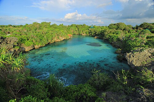
Day trips from Tambolaka: 14 places within 90 km
Beaches, villages, waterfalls and viewpoints you can reach in a day from Tambolaka, Sumba, with road distance and drive time for each.
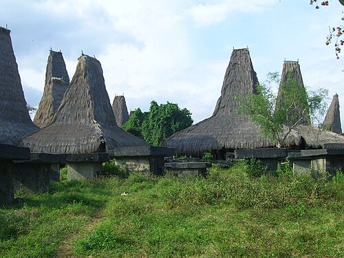
Day trips from Waikabubak: 14 places within 90 km
Beaches, villages, waterfalls and viewpoints you can reach in a day from Waikabubak, Sumba, with road distance and drive time for each.
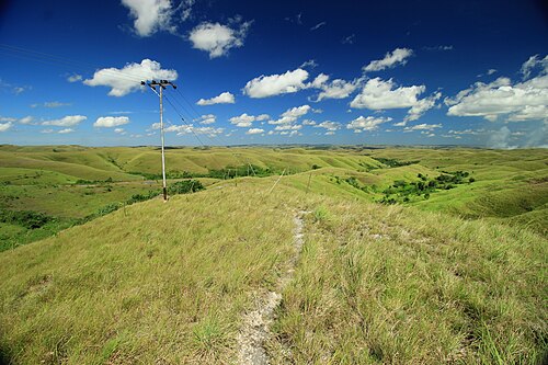
50 best things to do in Sumba
From Weekuri Lagoon to the Pasola, the dancing trees of Walakiri and the megalithic tombs of Anakalang: the best experiences on Sumba island, with a map.
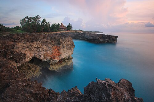
The best beaches in Sumba (with map)
Every beach worth the drive on Sumba: lagoons, surf breaks, sunset spots and empty white sand on all four coasts, with tips on safety and access.
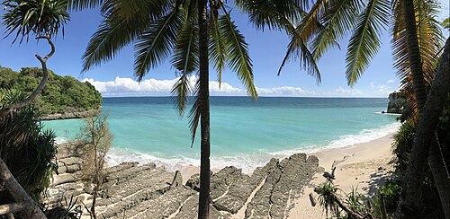
Where to stay in Sumba: the best areas for every trip
Which area of Sumba to stay in: Tambolaka and Kodi, Waikabubak and the south-west coast, Central Sumba and Waingapu in the east, and how to split your nights.
What to eat in Sumba: food, coffee and where to find it
Fresh fish, smoked meat, local vegetables, Sumba coffee and the betel-nut ritual: what you will eat on the island and practical tips.